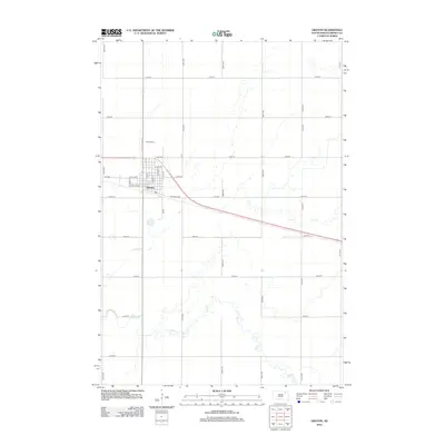
2012 Map of Groton
USGS Topo · Published 2012About this map
Groton stands as a well-defined prairie settlement at the crossroads of regional transit and agriculture in Brown County. The town's grid is anchored by N Main St and N State St, with the southern edge of the community bounded by the industrial corridor of Railroad Ave. Just north of the central residential blocks lies the Groton Cem, a key landmark for local genealogists. Beyond the township limits, the landscape transitions into a vast section-line grid defined by routes like 407th Ave and E 13th Ave. The meandering path of Mud Cr cuts through the southeastern plains, providing a stark natural contrast to the rigid geometry of the surrounding farmland and the systematic road network of this James River Valley region.
Find a feature on this map
30 named features on this map. Tap any name to fly to it.
Don’t see what you’re looking for? This feature index may not catch every label — zoom into the map to look around manually.
Map Details
Editions of this 2012 Groton Map
This is the sole edition of this map. No revisions or reprints were ever made.
Other maps of this area

1895 · Aberdeen
USGS Topo · 1:125,000

1896 · Columbia
USGS Topo · 1:125,000

1952 · Huffton
USGS Topo · 1:24,000

1952 · Putney
USGS Topo · 1:24,000

1953 · Groton SW
USGS Topo · 1:24,000

1953 · Milbank
USGS Topo · 1:250,000

1954 · Groton
USGS Topo · 1:24,000

1954 · James
USGS Topo · 1:24,000

1954 · Ferney
USGS Topo · 1:24,000

1954 · Aberdeen
USGS Topo · 1:250,000