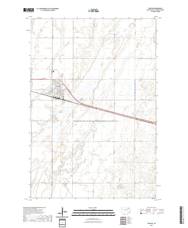
2021 Map of Groton
USGS Topo · Published 2021About this map
Groton stands as the central hub of this eastern South Dakota landscape, characterized by its traditional grid layout and its position within the fertile plains of Brown County. The map details the local infrastructure of this agricultural community, highlighting the Groton Cem located just north of the main settlement. The surrounding terrain is defined by the winding path of Mud Cr, which meanders across the southern sections of the township, illustrating the natural drainage patterns that have influenced land use and field placement for generations. The survey captures the intersection of rural life and transportation, showing the arterial roads that connect the town to the broader regional network while preserving the specific township boundaries like t123n r61w and t122n r60w.
Find a feature on this map
7 named features on this map. Tap any name to fly to it.
Don’t see what you’re looking for? This feature index may not catch every label — zoom into the map to look around manually.
Map Details
Editions of this 2021 Groton Map
This is the sole edition of this map. No revisions or reprints were ever made.
Other maps of this area

1895 · Aberdeen
USGS Topo · 1:125,000

1896 · Columbia
USGS Topo · 1:125,000

1952 · Huffton
USGS Topo · 1:24,000

1952 · Putney
USGS Topo · 1:24,000

1953 · Groton SW
USGS Topo · 1:24,000

1953 · Milbank
USGS Topo · 1:250,000

1954 · Groton
USGS Topo · 1:24,000

1954 · James
USGS Topo · 1:24,000

1954 · Ferney
USGS Topo · 1:24,000

1954 · Aberdeen
USGS Topo · 1:250,000