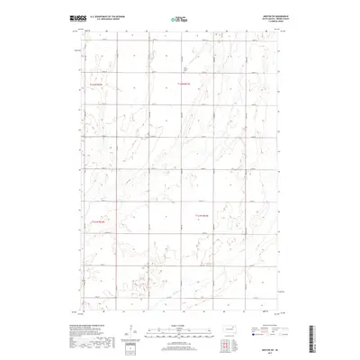
2017 Map of Groton SW
USGS Topo · Published 2017About this map
West Hanson Cem sits near the northern boundary of this Brown County landscape, a small landmark amid a grid of section lines and gravel roads. The terrain is defined by its subtle drainage patterns, where the winding course of Mud Cr and the intermittent flow of Dry Run intersect the agricultural township lines. A strictly surveyed network of routes, including Co Rd 18 and numerous numeric avenues like 402nd Ave, structures the rural area. This mapping reflects the modern organization of the James River Valley, preserving the location of family-centric sites like the cemetery alongside the hydrological features that dictate the region's land use.
Find a feature on this map
22 named features on this map. Tap any name to fly to it.
Don’t see what you’re looking for? This feature index may not catch every label — zoom into the map to look around manually.
Map Details
Editions of this 2017 Groton SW Map
This is the sole edition of this map. No revisions or reprints were ever made.
Other maps of this area

1894 · Conde
USGS Topo · 1:62,500

1895 · Aberdeen
USGS Topo · 1:125,000

1953 · Brentford
USGS Topo · 1:24,000

1953 · Stratford
USGS Topo · 1:24,000

1953 · Groton SW
USGS Topo · 1:24,000

1954 · Bath
USGS Topo · 1:24,000

1954 · Groton
USGS Topo · 1:24,000

1954 · James
USGS Topo · 1:24,000

1954 · Ferney
USGS Topo · 1:24,000

1954 · Aberdeen
USGS Topo · 1:250,000
Featured Places
- Hutterville Colony, SD
- Gem Township, SD
- Garden Prairie Township, SD
- West Hanson Township, SD
- East Rondell Township, SD