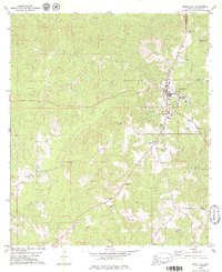
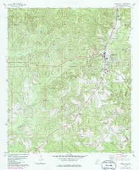
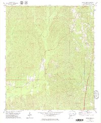
1978 Map of Grove Hill
USGS Topo · Published 1979About this map
The county seat at Grove Hill serves as the focal point of this late 1970s survey, illustrating a community structured around its civic and industrial infrastructure. The landscape is defined by its numerous family and community burial grounds, such as Smith Cem, Pine Chapel Cem, and Hollingsworth Cem, which offer significant value for genealogical research in Clarke County.
Find a feature on this map
33 named features on this map. Tap any name to fly to it.
Don’t see what you’re looking for? This feature index may not catch every label — zoom into the map to look around manually.
Map Details
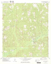
Editions of this 1978 Grove Hill Map
2 editions found
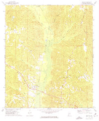
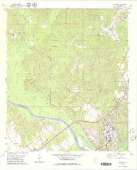
Other maps of this area

1953 · Andalusia
USGS Topo · 1:250,000

1957 · Andalusia
USGS Topo · 1:250,000
1972 · Whatley
USGS Topo · 1:24,000

1972 · Suggsville
USGS Topo · 1:24,000

1973 · Fulton East
USGS Topo · 1:24,000
1978 · Jackson
USGS Topo · 1:24,000

1978 · McEntyre
USGS Topo · 1:24,000

1978 · Winn
USGS Topo · 1:24,000
1978 · Fulton West
USGS Topo · 1:24,000
1978 · Walker Springs
USGS Topo · 1:24,000