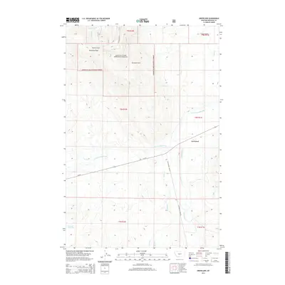
2014 Map of Groveland
USGS Topo · Published 2014About this map
The settlement of Groveland sits at the junction of MT-294 and Cottonwood Creek Rd in this Meagher County landscape. The area is defined by the transition from the high elevations of the Lewis & Clark National Forest in the northwest to the riparian corridors of the S Fork Musselshell River and Muddy Cr. Notable topographic features such as Whetstone Ridge and Pasture Gulch underscore the upland character of the national forest land, while the southern reaches of the map show water management via the Voldseth Reservoir. This 2014 survey documents a sparsely populated ranching and timber region where drainage names like Townsend Gulch and Green Canyon reflect the legacy of local land use and early resource extraction in the Montana interior.
Find a feature on this map
23 named features on this map. Tap any name to fly to it.
Don’t see what you’re looking for? This feature index may not catch every label — zoom into the map to look around manually.
Map Details
Editions of this 2014 Groveland Map
This is the sole edition of this map. No revisions or reprints were ever made.
Other maps of this area

1886 · Little Belt Mts.
USGS Topo · 1:250,000

1894 · Little Belt Mts.
USGS Topo · 1:250,000

1897 · Little Belt Mts.
USGS Topo · 1:250,000

1898 · Little Belt Mts.
USGS Topo · 1:250,000

1902 · Little Belt Mts.
USGS Topo · 1:250,000

1948 · White Sulphur Springs
USGS Topo · 1:250,000

1951 · Rimrock Divide
USGS Topo · 1:24,000

1958 · White Sulphur Springs
USGS Topo · 1:250,000

1961 · White Sulphur Springs
USGS Topo · 1:250,000

1965 · White Sulphur Springs
USGS Topo · 1:250,000