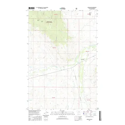
2017 Map of Groveland
USGS Topo · Published 2017About this map
The S Fork Musselshell River winds through this section of Meagher County, defining the valley floor near the settlement of Groveland. The landscape is dominated by the transition from open range to the timbered heights of the Lewis & Clark National Forest, where features like Whetstone Ridge and Pasture Gulch overlook the drainage basins below. Evidence of modern infrastructure in this rural environment is visible at the Mount-Howe Repeater, situated on a high point of the ridge line. Water management for the region's ranching interests is highlighted by the Voldseth Reservoir in the southwest corner. The map also traces a network of remote access routes, including 71 Ranch Rd and Cottonwood Creek Rd, which follow the natural contours of the creek beds such as Muddy Cr and Cottonwood Cr.
Find a feature on this map
25 named features on this map. Tap any name to fly to it.
Don’t see what you’re looking for? This feature index may not catch every label — zoom into the map to look around manually.
Map Details
Editions of this 2017 Groveland Map
This is the sole edition of this map. No revisions or reprints were ever made.
Other maps of this area
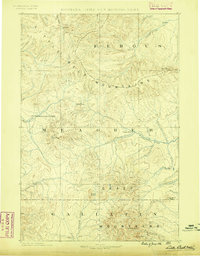
1886 · Little Belt Mts.
USGS Topo · 1:250,000
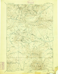
1894 · Little Belt Mts.
USGS Topo · 1:250,000
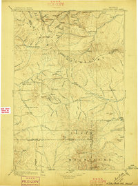
1897 · Little Belt Mts.
USGS Topo · 1:250,000
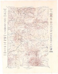
1898 · Little Belt Mts.
USGS Topo · 1:250,000
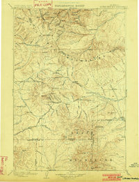
1902 · Little Belt Mts.
USGS Topo · 1:250,000
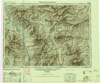
1948 · White Sulphur Springs
USGS Topo · 1:250,000
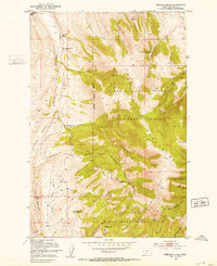
1951 · Rimrock Divide
USGS Topo · 1:24,000
1958 · White Sulphur Springs
USGS Topo · 1:250,000
1961 · White Sulphur Springs
USGS Topo · 1:250,000
1965 · White Sulphur Springs
USGS Topo · 1:250,000