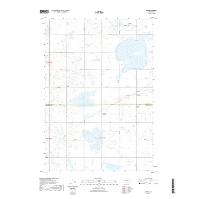
2017 Map of Grover
USGS Topo · Published 2017About this map
The eastern edge of the Coteau des Prairies plateau defines this South Dakota landscape, where the prairie gives way to numerous wetlands and glacial depressions. Small agricultural communities such as Grover and Hazel are situated within a grid of section roads like 447th Ave and 181st St, which segment the terrain into productive farmland. The area is marked by significant water bodies including Goose Lake and several wetland drainages like Wolf Slough and Baxter Slough, which characterize the drainage patterns of the region.
Find a feature on this map
34 named features on this map. Tap any name to fly to it.
Don’t see what you’re looking for? This feature index may not catch every label — zoom into the map to look around manually.
Map Details
Editions of this 2017 Grover Map
This is the sole edition of this map. No revisions or reprints were ever made.
Other maps of this area

1953 · Watertown
USGS Topo · 1:250,000

1958 · Watertown
USGS Topo · 1:250,000

1969 · Hayti
USGS Topo · 1:24,000

1969 · Watertown West
USGS Topo · 1:24,000

1969 · Pelican Lake
USGS Topo · 1:24,000
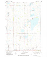
1973 · Henry
USGS Topo · 1:24,000

1973 · Bryant NE
USGS Topo · 1:24,000
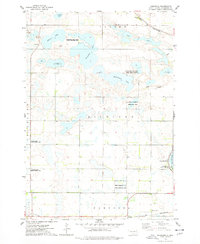
1973 · Kampeska
USGS Topo · 1:24,000
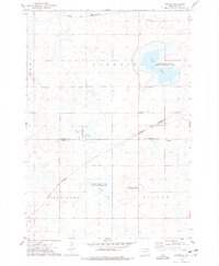
1973 · Grover
USGS Topo · 1:24,000

1973 · Vienna East
USGS Topo · 1:24,000