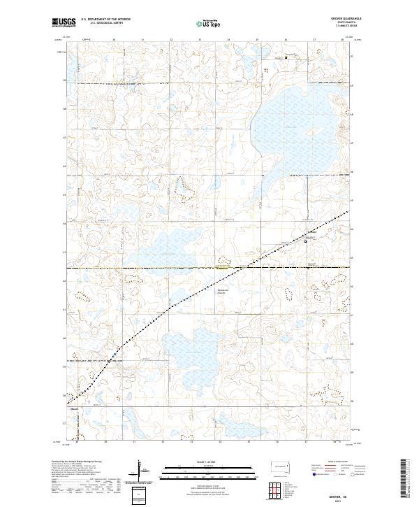
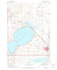
2021 Map of Grover
USGS Topo · Published 2021This historical map portrays the area of Grover in 2021, primarily covering Codington County as well as portions of Hamlin County. Featuring a scale of 1:24000, this map provides a highly detailed snapshot of the terrain, roads, buildings, counties, and historical landmarks in the Grover region at the time. Published in 2021, it is the sole known edition of this map.
Map Details
Editions of this 2021 Grover Map
This is the sole edition of this map. No revisions or reprints were ever made.
Historical Maps of Oxford Township Through Time
18 maps found
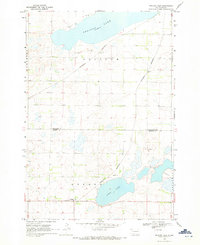
1969 Pelican Lake
Codington County, SD
1969 Watertown East
Codington County, SD
1969 Watertown SE
Codington County, SD
1969 Watertown West
Codington County, SD
1970 Kranzburg SW
Codington County, SD
1970 Still Lake
Codington County, SD
1970 Still Lake SE
Codington County, SD
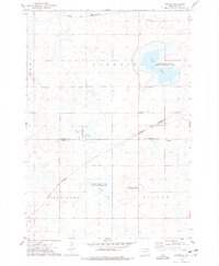
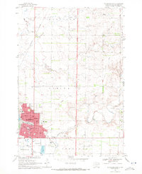
1973 Grover
Codington County, SD
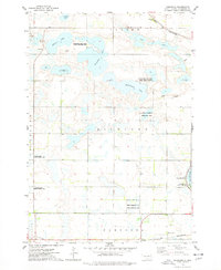
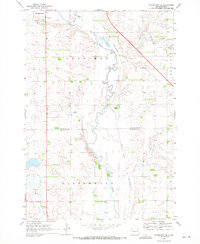
1973 Kampeska
Codington County, SD
2021 Grover
Codington County, SD
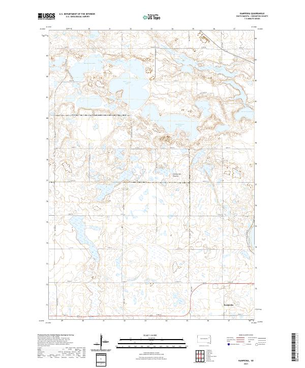
2021 Kampeska
Codington County, SD
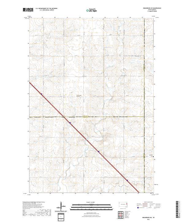
2021 Kranzburg SW
Codington County, SD
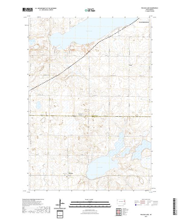
2021 Pelican Lake
Codington County, SD
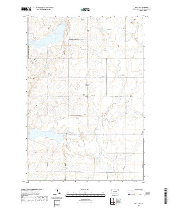
2021 Still Lake
Codington County, SD
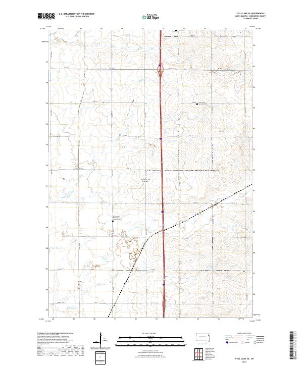
2021 Still Lake SE
Codington County, SD
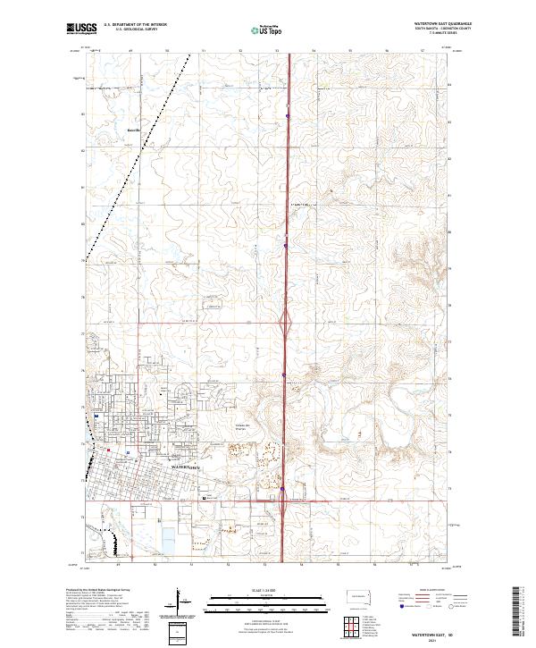
2021 Watertown East
Codington County, SD
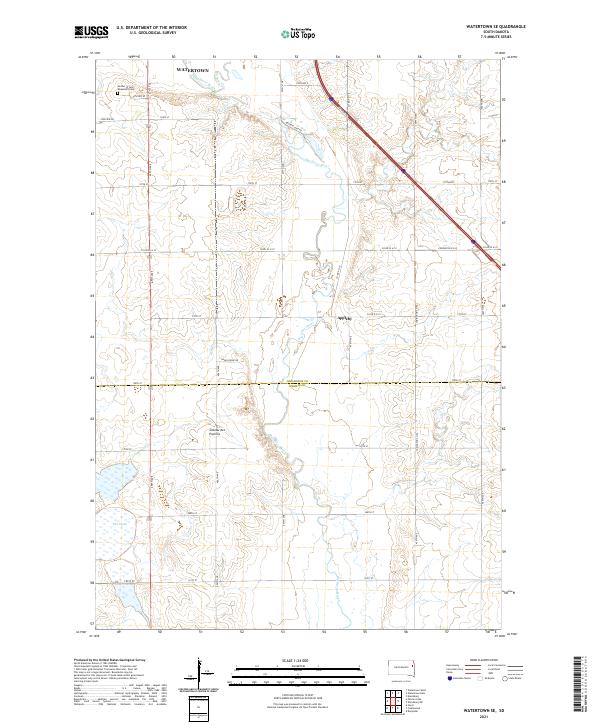
2021 Watertown SE
Codington County, SD
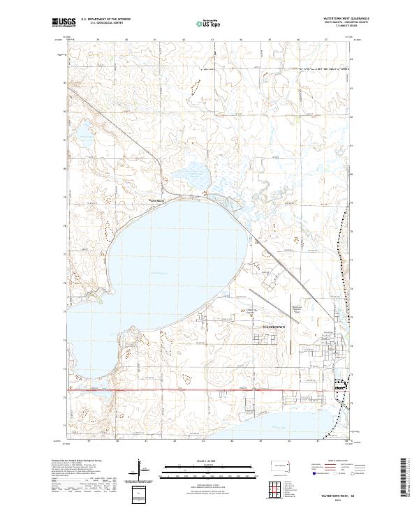
2021 Watertown West
Codington County, SD
Featured Locations
- Henry Township, SD
- Kampeska Township, SD
- Brantford Township, SD
- Oxford Township, SD
- Hazel, Brantford Township