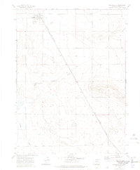
1972 Map of Grover South
USGS Topo · Published 1974About this map
Grover serves as the primary settlement center for this section of Weld County in the early 1970s, characterized by its localized infrastructure like the High Sch and the community Rodeo Ground. The landscape is a study in western resource extraction and transport, dominated by the wide expanse of the Keota Oil Field to the south and the diagonal line of the Burlington Northern railroad cutting across the high plains. Drainage patterns are defined by Jackson Draw and Crow Creek, which shape the local topography. Further east, the Sligo Cem stands as a quiet marker of the area's rural history, set apart from the active wells and rail lines that drove the local economy during this era.
Find a feature on this map
9 named features on this map. Tap any name to fly to it.
Don’t see what you’re looking for? This feature index may not catch every label — zoom into the map to look around manually.
Map Details
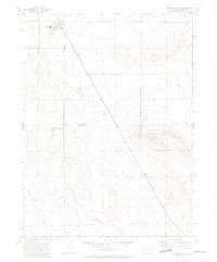
Editions of this 1972 Grover South Map
2 editions found
Other maps of this area

1954 · Greeley
USGS Topo · 1:250,000

1957 · Greeley
USGS Topo · 1:250,000

1958 · Greeley
USGS Topo · 1:250,000

1961 · Greeley
USGS Topo · 1:250,000

1964 · Greeley
USGS Topo · 1:250,000

1965 · Greeley
USGS Topo · 1:250,000
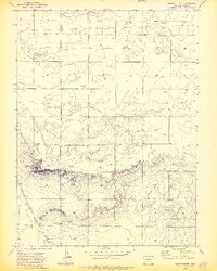
1972 · Grover North
USGS Topo · 1:24,000

1972 · Briggsdale
USGS Topo · 1:24,000

1972 · Keota NW
USGS Topo · 1:24,000
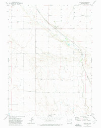
1972 · Hereford
USGS Topo · 1:24,000