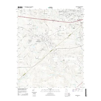
2014 Map of Grovetown
USGS Topo · Published 2014About this map
Grovetown anchors this landscape at a time of significant suburban expansion along the Columbia and Richmond county line. The topography reveals a transition from organized residential developments like Lewiston Downs and Belglade in the north to the sprawling grounds of Fort Gordon in the south. This military installation occupies much of the lower half of the map, characterized by a complex network of training areas, firing ranges, and tactical roads. The land is heavily dissected by waterways such as Butler Creek and Spirit Creek, which feed into numerous small reservoirs and ponds like Maxwell Lake and Whittimore Pond. For the family historian, several small burial sites are preserved amidst the modern street grids, including Beard Young Cem and Newman Cem, serving as quiet reminders of the area's rural agricultural roots before the mid-century growth of the nearby metro area.
Find a feature on this map
191 named features on this map. Tap any name to fly to it.
Don’t see what you’re looking for? This feature index may not catch every label — zoom into the map to look around manually.
Map Details
Editions of this 2014 Grovetown Map
This is the sole edition of this map. No revisions or reprints were ever made.
Other maps of this area

1892 · Mc Cormick
USGS Topo · 1:125,000

1912 · Mc Cormick
USGS Topo · 1:125,000

1920 · Clarks Hill
USGS Topo · 1:48,000

1921 · Clarks Hill
USGS Topo · 1:62,500

1921 · Appling
USGS Topo · 1:62,500

1922 · Harlem
USGS Topo · 1:62,500

1922 · Hephzibah
USGS Topo · 1:62,500

1941 · Clarks Hill
USGS Topo · 1:62,500

1942 · Clarks Hill
USGS Topo · 1:62,500

1943 · Appling
USGS Topo · 1:62,500