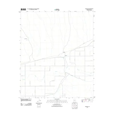
2011 Map of Growler
USGS Topo · Published 2011About this map
Growler and Norton anchor this 2011 survey of Yuma County, revealing a landscape defined by irrigated agriculture and the winding path of the Gila River. The map captures a grid of rural roads, such as Palomas Rd and Canal Rd, that support the region's ranching and farming operations. To the northwest, the prominent Signal Butte rises above the alluvial plain, providing a singular landmark in an otherwise orderly expanse of section lines and county highways. The settlement pattern follows the river's corridor, where established thoroughfares like E Co Hwy 2nd and S Co Avenue 3 link the small communities. This survey reflects the intersection of natural drainage systems and human engineering in the Arizona desert, marking the distribution of local resources and homesteads at the start of the decade.
Find a feature on this map
31 named features on this map. Tap any name to fly to it.
Don’t see what you’re looking for? This feature index may not catch every label — zoom into the map to look around manually.
Map Details
Editions of this 2011 Growler Map
This is the sole edition of this map. No revisions or reprints were ever made.
Other maps of this area

1926 · Mohawk
USGS Topo · 1:62,500

1927 · Kim
USGS Topo · 1:62,500

1928 · Mohawk
USGS Topo · 1:62,500

1928 · Norton
USGS Topo · 1:62,500

1929 · Norton
USGS Topo · 1:62,500

1930 · Stoval
USGS Topo · 1:62,500

1931 · Kim
USGS Topo · 1:62,500

1950 · Stoval
USGS Topo · 1:62,500

1953 · Ajo
USGS Topo · 1:250,000

1955 · Growler
USGS Topo · 1:24,000