
1955 Map of Growler
USGS Topo · Published 1956About this map
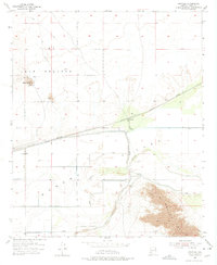
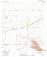
Southern Pacific railroad tracks and the Mohawk Canal cut through this arid Yuma County landscape, defining the mid-century infrastructure of the Mohawk Valley. The small settlement of Growler and the nearby Norton (Site) sit along these transport lines, representing the sparse habitation in a region otherwise dominated by geography and military utility. To the north, the Yuma Test Station boundary encompasses prominent terrain such as Signal Butte and several quarries, indicating the area's role in government operations. The southern portion of the map is dramatically constrained by the Mohawk Mts, where steep elevation rises sharply from the valley floor. This survey documents the intersection of essential water management and transit routes before the intensification of modern desert development.
Find a feature on this map
13 named features on this map. Tap any name to fly to it.
Don’t see what you’re looking for? This feature index may not catch every label — zoom into the map to look around manually.
Map Details
Editions of this 1955 Growler Map
3 editions found
Other maps of this area

1926 · Mohawk
USGS Topo · 1:62,500

1927 · Kim
USGS Topo · 1:62,500

1928 · Mohawk
USGS Topo · 1:62,500

1928 · Norton
USGS Topo · 1:62,500

1929 · Norton
USGS Topo · 1:62,500

1930 · Stoval
USGS Topo · 1:62,500

1931 · Kim
USGS Topo · 1:62,500

1950 · Stoval
USGS Topo · 1:62,500

1953 · Ajo
USGS Topo · 1:250,000
1955 · Roll
USGS Topo · 1:24,000