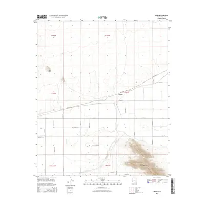
2014 Map of Growler
USGS Topo · Published 2014About this map
The Gila River meanders across the arid landscape of Yuma County, providing a stark geographic contrast to the high desert terrain. Small rural settlements like Growler and Norton are positioned along the primary east-west corridor formed by Palomas Rd and Canal Rd, illustrating the early 21st-century pattern of habitation in this pocket of the Mohawk Valley. To the south, the foothills of the Mohawk Mountains rise abruptly from the valley floor, while to the northwest, the prominent landmark of Signal Butte serves as a navigational anchor for the surrounding plains. The map reveals a systematic grid of county roads, such as N Avenue 51 E and E Co 1st St, which intersect the expansive township and range divisions of T7S R15W and T6S R16W, marking the transition from open range to established rural infrastructure.
Find a feature on this map
35 named features on this map. Tap any name to fly to it.
Don’t see what you’re looking for? This feature index may not catch every label — zoom into the map to look around manually.
Map Details
Editions of this 2014 Growler Map
This is the sole edition of this map. No revisions or reprints were ever made.
Other maps of this area

1926 · Mohawk
USGS Topo · 1:62,500

1927 · Kim
USGS Topo · 1:62,500

1928 · Mohawk
USGS Topo · 1:62,500

1928 · Norton
USGS Topo · 1:62,500

1929 · Norton
USGS Topo · 1:62,500

1930 · Stoval
USGS Topo · 1:62,500

1931 · Kim
USGS Topo · 1:62,500

1950 · Stoval
USGS Topo · 1:62,500

1953 · Ajo
USGS Topo · 1:250,000

1955 · Growler
USGS Topo · 1:24,000