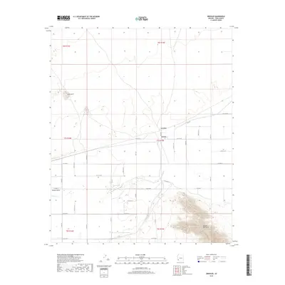
2018 Map of Growler
USGS Topo · Published 2018About this map
The Gila River corridor defines the geography of this Yuma County landscape, where the flat agricultural expanses of the Mohawk Valley meet the rising slopes of the Mohawk Mountains. The settlement pattern follows a rigid section-line grid of rural roads, including S Ave 45 E and various numbered East County streets, supporting the small communities of Growler and Norton. This map documents a desert agricultural economy reliant on managed water, evidenced by the presence of Canal Rd north of the river. To the northwest, the prominent Signal Butte stands as a distinct landmark above the valley floor, providing a sharp contrast to the irrigated fields that characterize the central portion of the quadrangle.
Find a feature on this map
34 named features on this map. Tap any name to fly to it.
Don’t see what you’re looking for? This feature index may not catch every label — zoom into the map to look around manually.
Map Details
Editions of this 2018 Growler Map
This is the sole edition of this map. No revisions or reprints were ever made.
Other maps of this area

1926 · Mohawk
USGS Topo · 1:62,500

1927 · Kim
USGS Topo · 1:62,500

1928 · Mohawk
USGS Topo · 1:62,500

1928 · Norton
USGS Topo · 1:62,500

1929 · Norton
USGS Topo · 1:62,500

1930 · Stoval
USGS Topo · 1:62,500

1931 · Kim
USGS Topo · 1:62,500

1950 · Stoval
USGS Topo · 1:62,500

1953 · Ajo
USGS Topo · 1:250,000

1955 · Growler
USGS Topo · 1:24,000