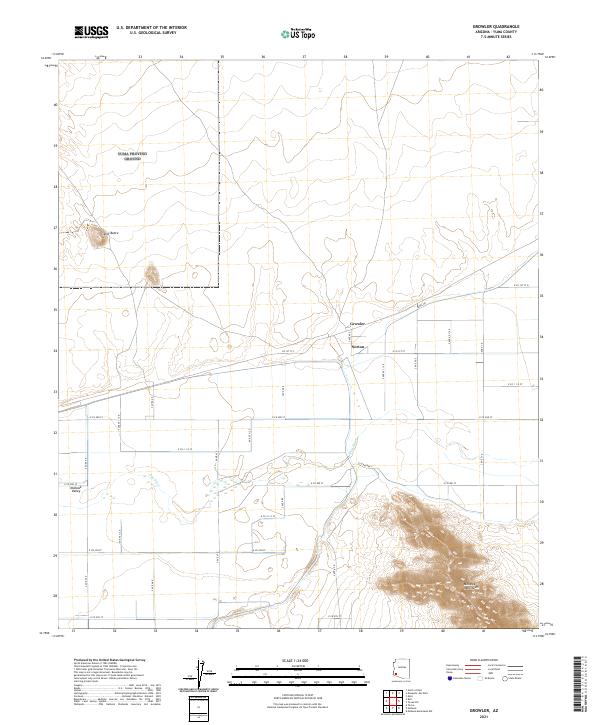
2021 Map of Growler
USGS Topo · Published 2021About this map
The Gila River meanders across this arid landscape, defining the character of the southern Mohawk Valley. The terrain transitions from the low-lying valley floor to the rising slopes of the Mohawk Mountains in the southeast and the isolated landmark of Signal Butte to the northwest. This topography creates a stark contrast between the natural watercourse and the geometric precision of the desert's agricultural grid.
Find a feature on this map
35 named features on this map. Tap any name to fly to it.
Don’t see what you’re looking for? This feature index may not catch every label — zoom into the map to look around manually.
Map Details
Editions of this 2021 Growler Map
This is the sole edition of this map. No revisions or reprints were ever made.
Other maps of this area

1926 · Mohawk
USGS Topo · 1:62,500

1927 · Kim
USGS Topo · 1:62,500

1928 · Mohawk
USGS Topo · 1:62,500

1928 · Norton
USGS Topo · 1:62,500

1929 · Norton
USGS Topo · 1:62,500

1930 · Stoval
USGS Topo · 1:62,500

1931 · Kim
USGS Topo · 1:62,500

1950 · Stoval
USGS Topo · 1:62,500

1953 · Ajo
USGS Topo · 1:250,000

1955 · Growler
USGS Topo · 1:24,000