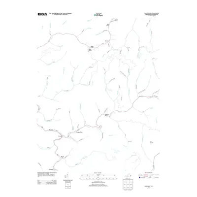
2013 Map of Grundy
USGS Topo · Published 2013About this map
Grundy serves as the central hub in this Virginia mountain landscape, where the confluence of Slate Creek and the Louisa Fork dictates the layout of local roads and neighborhoods. Small settlements like Longbottom, Poetown, and Royal City trace the narrow valley floors, reflecting a long-established pattern of Appalachian development tied to the winding waterways. Further north, Home Creek and Roseann occupy more isolated positions within the intricate network of hollows.
Find a feature on this map
99 named features on this map. Tap any name to fly to it.
Don’t see what you’re looking for? This feature index may not catch every label — zoom into the map to look around manually.
Map Details
Editions of this 2013 Grundy Map
This is the sole edition of this map. No revisions or reprints were ever made.
Other maps of this area

1886 · Grundy
USGS Topo · 1:125,000

1890 · Grundy
USGS Topo · 1:125,000

1891 · Tazewell
USGS Topo · 1:125,000

1892 · Grundy
USGS Topo · 1:125,000

1895 · Tazewell
USGS Topo · 1:125,000

1897 · Tazewell
USGS Topo · 1:125,000

1910 · Iaeger
USGS Topo · 1:48,000

1912 · Iaeger
USGS Topo · 1:62,500

1914 · Bucu
USGS Topo · 1:48,000

1914 · Iaeger
USGS Topo · 1:48,000