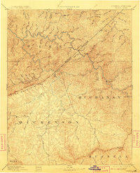
1892 Map of Grundy
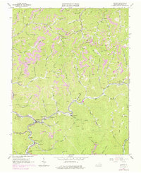
USGS Topo · Published 1909About this map
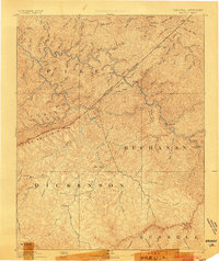
The Kentucky Virginia Boundary Line bisects this late nineteenth-century reconnaissance map, separating Pike County from the Virginia highlands. The landscape is defined by the sharp ridges of Pine Mountain and the high elevation of Big Butt, where a complex network of creeks and forks creates a deeply dissected terrain. This early survey, led by Henry Gannett, captures the Appalachian foothills before industrial coal mining transformed the region's topography. The settlement pattern follows these watercourses, with the county seat of Grundy and the community of Clintwood established as primary hubs in a world of subsistence and timber. Numerous family-named drainages like Looney Creek, Buster Fork, and Dismal Creek illustrate how the geography was intimately tied to the families who settled these hollows. Small outposts such as Jamboree, Card, and Willard appear as lonely points of navigation in a dense wilderness of hills.
Find a feature on this map
66 named features on this map. Tap any name to fly to it.
Don’t see what you’re looking for? This feature index may not catch every label — zoom into the map to look around manually.
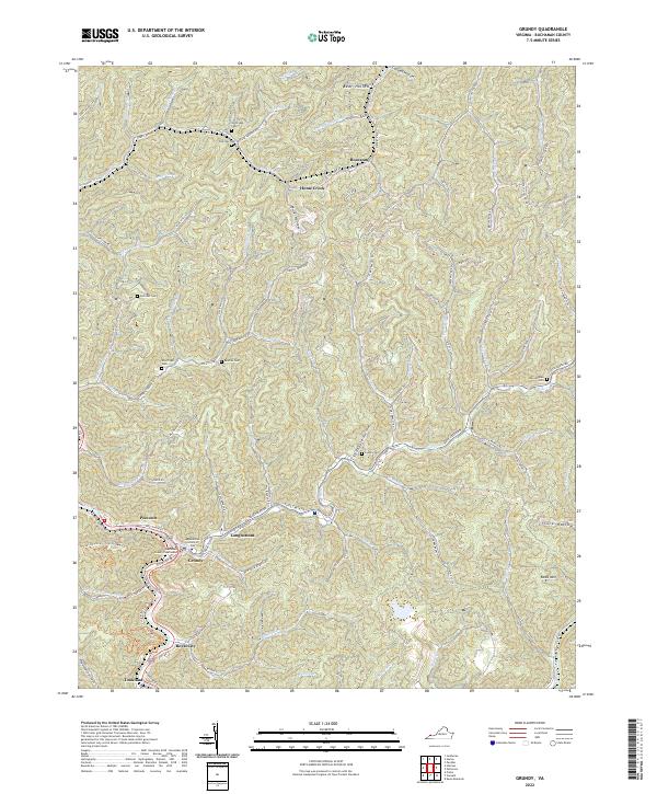
Map Details
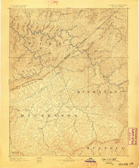
Editions of this 1892 Grundy Map
4 editions found

Historical Maps of Pikeville Through Time
5 maps found