Loading...
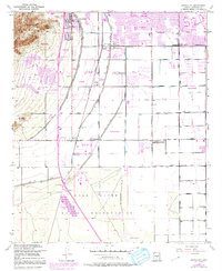
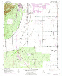
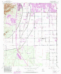
Loading map...1952 Map of Guadalupe
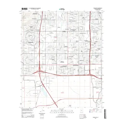
USGS Topo · Published 1991About this map
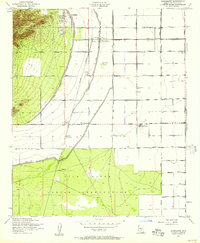
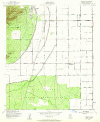
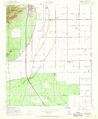
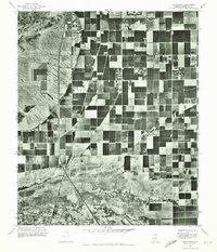
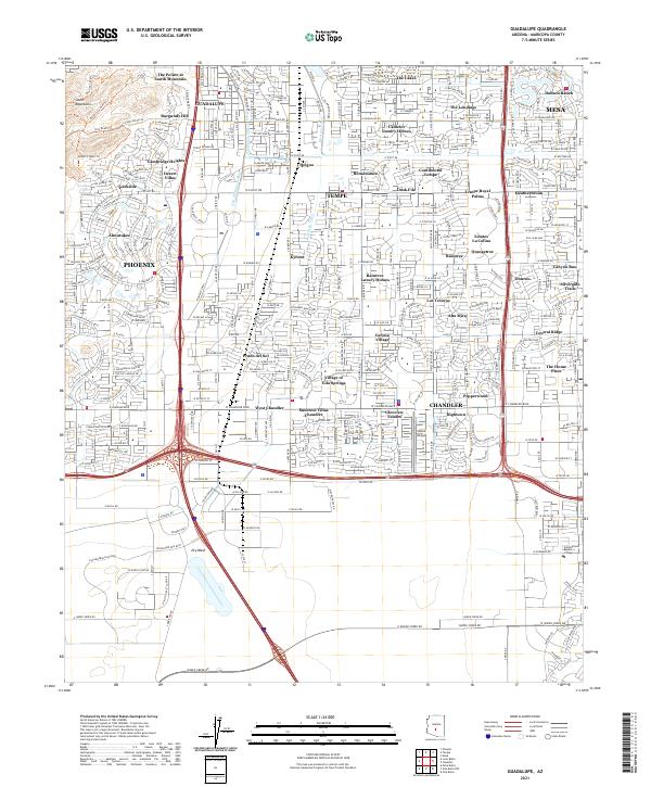
Agricultural roots and rapid suburban expansion meet south of Phoenix, where the Gila River Indian Reservation borders the growing municipalities of the East Valley. The industrial heart of the area is centered around the Southern Pacific rail line, which services early economic hubs like the Kyrene Steam Pumping Plant and the Kyrene Gin. Smaller, established communities such as Guadalupe and Heleha sit amidst an increasingly dense network of irrigation infrastructure including the Western Canal and Highline Canal.
Find a feature on this map
30 named features on this map. Tap any name to fly to it.
Don’t see what you’re looking for? This feature index may not catch every label — zoom into the map to look around manually.
Map Details
Date Portrayed1952
Date Published1991
PublisherU.S. Geological Survey
Map TypeTopographic
Scale1:24,000
Physical Dimensions22 x 26.8 inches
Editions of this 1952 Guadalupe Map
6 editions found
Historical Maps of Phoenix Through Time
6 maps found
Featured Locations
Source Details
SourceU.S. Geological Survey
CopyrightPublic Domain