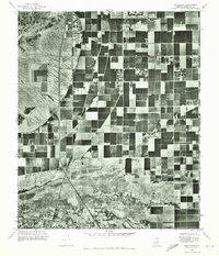
1971 Map of Guadalupe
USGS Topo · Published 1972About this map
Guadalupe appears as a distinct cluster of residential development in the early 1970s, surrounded by an expansive grid of agricultural fields and irrigation infrastructure. This orthophotoquad, created by the Geological Survey, provides a detailed photographic look at the Maricopa County landscape just as the metropolitan expansion of the Phoenix area began to press against established farming communities. The imagery clearly delineates the transition from the structured plots of Kyrene and Hightown to the more open, undeveloped terrain found to the west. The geometric precision of the fields and canals illustrates the heavy reliance on managed water systems to sustain this desert agriculture before later suburban sprawl altered the land use of the Salt River Valley.
Find a feature on this map
3 named features on this map. Tap any name to fly to it.
Don’t see what you’re looking for? This feature index may not catch every label — zoom into the map to look around manually.
Map Details
Editions of this 1971 Guadalupe Map
This is the sole edition of this map. No revisions or reprints were ever made.
Other maps of this area

1912 · Phoenix
USGS Topo · 1:62,500

1913 · Mesa
USGS Topo · 1:62,500

1913 · Maricopa
USGS Topo · 1:62,500

1914 · Gila Butte
USGS Topo · 1:62,500

1914 · Phoenix
USGS Topo · 1:62,500

1915 · Mesa
USGS Topo · 1:62,500

1915 · Maricopa
USGS Topo · 1:62,500

1917 · Gila Butte
USGS Topo · 1:62,500

1952 · Tempe
USGS Topo · 1:24,000

1952 · Chandler
USGS Topo · 1:24,000