
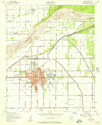
1952 Map of Chandler
USGS Topo · Published 1957About this map
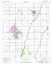
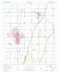
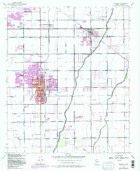
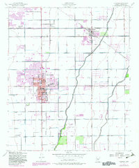
The irrigated landscapes of Maricopa County are defined here by an intricate network of waterways, including the Western Canal and Consolidated Canal, which support the agricultural economy between the growing towns of Chandler and Gilbert. The area is anchored by the Southern Pacific railroad line, which passes through early settlements and loading points like Falfa and Pozo. Near the center of Chandler, civic and cultural landmarks like City Hall, the High Sch, and the San Marcos Golf Course appear alongside industrial features such as Grain Elevators. Farther east, smaller communities like Sonora Town and Nortons Corner occupy the corners of a strict section-line road grid. The map also captures the local aviation landscape of the early 1950s, featuring both the Gilbert Airport and the Chandler Municipal Airport.
Find a feature on this map
34 named features on this map. Tap any name to fly to it.
Don’t see what you’re looking for? This feature index may not catch every label — zoom into the map to look around manually.
Map Details
Editions of this 1952 Chandler Map
5 editions found
Other maps of this area

1904 · Desert Well
USGS Topo · 1:62,500

1906 · Desert Well
USGS Topo · 1:62,500

1907 · Sacaton
USGS Topo · 1:62,500

1913 · Mesa
USGS Topo · 1:62,500

1914 · Gila Butte
USGS Topo · 1:62,500

1915 · Mesa
USGS Topo · 1:62,500

1917 · Gila Butte
USGS Topo · 1:62,500

1952 · Tempe
USGS Topo · 1:24,000

1952 · Gila Butte NW
USGS Topo · 1:24,000
1952 · Mesa
USGS Topo · 1:24,000