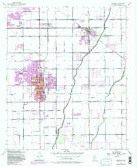
1952 Map of Chandler
USGS Topo · Published 1982About this map
Agricultural development and early suburban expansion define the landscape south of Mesa during the mid-twentieth century. The Southern Pacific rail line serves as a central spine, connecting the core of Chandler with outlying settlements like Falfa and Pozo. The region's reliance on irrigation is evident through the extensive network of the Western Canal, Consolidated Canal, and Eastern Canal, which supported the surrounding ranching and farming operations such as Bell Ranch.
Find a feature on this map
34 named features on this map. Tap any name to fly to it.
Don’t see what you’re looking for? This feature index may not catch every label — zoom into the map to look around manually.
Map Details
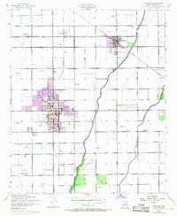
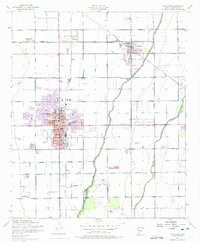
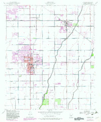
Editions of this 1952 Chandler Map
5 editions found
Other maps of this area

1904 · Desert Well
USGS Topo · 1:62,500

1906 · Desert Well
USGS Topo · 1:62,500

1907 · Sacaton
USGS Topo · 1:62,500

1913 · Mesa
USGS Topo · 1:62,500

1914 · Gila Butte
USGS Topo · 1:62,500

1915 · Mesa
USGS Topo · 1:62,500

1917 · Gila Butte
USGS Topo · 1:62,500

1952 · Tempe
USGS Topo · 1:24,000

1952 · Chandler
USGS Topo · 1:24,000

1952 · Gila Butte NW
USGS Topo · 1:24,000