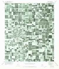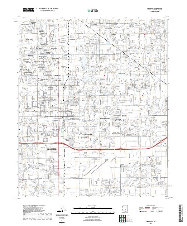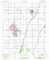
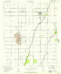
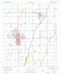
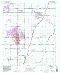
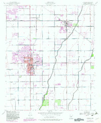
1952 Map of Chandler
USGS Topo · Published 1968About this map
The agricultural grid of the Salt River Valley dominates this mid-century portrait, defined by the critical irrigation network of the Western Canal, Consolidated Canal, and Eastern Canal. The map captures Chandler and Gilbert during a period of expansion, with purple overprint detailing urban growth around the historic town centers. Traces of the region's labor and industrial history are evident in settlements like Water Users Camp 10 and Falfa, along with the Southern Pacific rail line that facilitated the movement of desert crops. Local landmarks such as the San Marcos Golf Course, Winn Sch, and a Drive-in Theater reflect the social landscape of the era, while the Chandler Municipal Airport and Grain Elevators mark the intersection of aviation and agriculture in Maricopa County.
Find a feature on this map
39 named features on this map. Tap any name to fly to it.
Don’t see what you’re looking for? This feature index may not catch every label — zoom into the map to look around manually.
Map Details
Editions of this 1952 Chandler Map
5 editions found
Historical Maps of Mesa Through Time
6 maps found