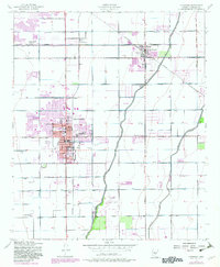
1952 Map of Chandler
USGS Topo · Published 1982About this map
The agricultural irrigation network of the Salt River Valley defines the landscape in this mid-century survey, where the Western Canal, Southern Canal, and Consolidated Canal carve through the desert to support the growing communities of Chandler and Gilbert. The area transitions from the established agricultural operations of the Bell Ranch and Water Users Camp 10 toward post-war suburban development, evidenced by the emerging clusters of mobile homes and the Drive-in Theater near the town center. Local industry is anchored by the Southern Pacific rail line and prominent Grain Elevators, reflecting the region's enduring reliance on crop production even as the Chandler Municipal Airport and San Marcos Golf Course signal a diversifying economy. Smaller settlements like Falfa, Sonora Town, and Nortons Corner provide critical markers for genealogists tracing family locations in this rapidly evolving part of Maricopa County.
Find a feature on this map
39 named features on this map. Tap any name to fly to it.
Don’t see what you’re looking for? This feature index may not catch every label — zoom into the map to look around manually.
Map Details
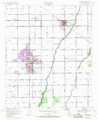
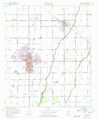
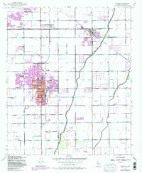
Editions of this 1952 Chandler Map
5 editions found
Other maps of this area

1904 · Desert Well
USGS Topo · 1:62,500

1906 · Desert Well
USGS Topo · 1:62,500

1907 · Sacaton
USGS Topo · 1:62,500

1913 · Mesa
USGS Topo · 1:62,500

1914 · Gila Butte
USGS Topo · 1:62,500

1915 · Mesa
USGS Topo · 1:62,500

1917 · Gila Butte
USGS Topo · 1:62,500

1952 · Tempe
USGS Topo · 1:24,000

1952 · Chandler
USGS Topo · 1:24,000

1952 · Gila Butte NW
USGS Topo · 1:24,000