
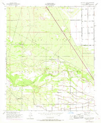
1952 Map of Gila Butte NW
USGS Topo · Published 1957About this map
Gila River Indian Reservation lands dominate this mid-century landscape, where the Gila River meanders through a network of engineered water management features. The settlement of Snaketown sits north of the river, while further south, Bapchule serves as a local hub near several water wells and a cemetery. This area reveals a transition from the natural riverbed to an organized agricultural and military landscape, marked by the presence of a Levee system and the Goodyear Air Force Auxiliary Airfield in the northern reaches. For local history researchers, the map provides precise locations for community centers such as St Francis Borgia Ch and an Adventist Ch. The grid of the desert floor is defined by established routes like Rittenhouse Road and Superstition Road, which cross the Maricopa and Pinal county line.
Find a feature on this map
18 named features on this map. Tap any name to fly to it.
Don’t see what you’re looking for? This feature index may not catch every label — zoom into the map to look around manually.
Map Details
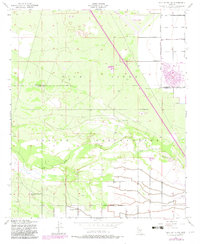
Editions of this 1952 Gila Butte NW Map
3 editions found
Other maps of this area

1912 · Phoenix
USGS Topo · 1:62,500

1913 · Mesa
USGS Topo · 1:62,500

1913 · Maricopa
USGS Topo · 1:62,500

1914 · Gila Butte
USGS Topo · 1:62,500

1914 · Phoenix
USGS Topo · 1:62,500

1915 · Mesa
USGS Topo · 1:62,500

1915 · Maricopa
USGS Topo · 1:62,500

1917 · Gila Butte
USGS Topo · 1:62,500

1952 · Gila Butte SE
USGS Topo · 1:24,000

1952 · Maricopa
USGS Topo · 1:24,000