
1952 Map of Gila Butte SE
USGS Topo · Published 1957About this map
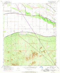
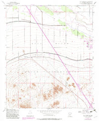
The Gila River Indian Reservation dominates this 1952 topographic study, showcasing a landscape defined by water management and the rugged Sacaton Mountains. The northern portion of the sheet is marked by the course of the Gila River, where a system of levees and the Casa Blanca Canal highlight the efforts to redirect and control desert water for agricultural or residential use.
Find a feature on this map
9 named features on this map. Tap any name to fly to it.
Don’t see what you’re looking for? This feature index may not catch every label — zoom into the map to look around manually.
Map Details
Editions of this 1952 Gila Butte SE Map
3 editions found
Other maps of this area

1907 · Sacaton
USGS Topo · 1:62,500

1914 · Gila Butte
USGS Topo · 1:62,500

1917 · Gila Butte
USGS Topo · 1:62,500

1922 · Casa Grande
USGS Topo · 1:62,500

1922 · Signal Peak
USGS Topo · 1:62,500

1924 · Signal Peak
USGS Topo · 1:62,500

1924 · Casa Grande
USGS Topo · 1:62,500

1952 · Sacaton Butte
USGS Topo · 1:24,000

1952 · Gila Butte NW
USGS Topo · 1:24,000

1952 · Gila Butte
USGS Topo · 1:24,000