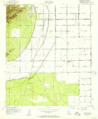
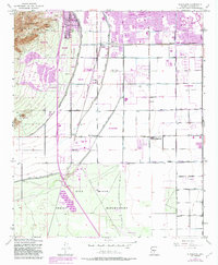
1952 Map of Guadalupe
USGS Topo · Published 1957About this map
Agricultural development and industrial utility define this landscape at the intersection of the Salt River Valley and the Gila River Indian Reservation. The small settlement of Guadalupe sits at the foot of the Phoenix South Mountain Park slopes, while the surrounding flats are carved by an intricate network of irrigation infrastructure including the Western Canal and the High Line Canal. The presence of the Kyrene Steam Generating Plant and a nearby Transformer Yard underscores the region's mid-century role in power generation for the growing Phoenix metropolitan area.
Find a feature on this map
31 named features on this map. Tap any name to fly to it.
Don’t see what you’re looking for? This feature index may not catch every label — zoom into the map to look around manually.
Map Details
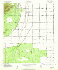
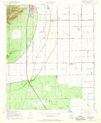
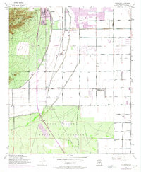
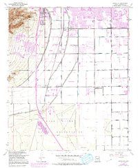
Editions of this 1952 Guadalupe Map
6 editions found
Other maps of this area

1912 · Phoenix
USGS Topo · 1:62,500

1913 · Mesa
USGS Topo · 1:62,500

1913 · Maricopa
USGS Topo · 1:62,500

1914 · Gila Butte
USGS Topo · 1:62,500

1914 · Phoenix
USGS Topo · 1:62,500

1915 · Mesa
USGS Topo · 1:62,500

1915 · Maricopa
USGS Topo · 1:62,500

1917 · Gila Butte
USGS Topo · 1:62,500

1952 · Tempe
USGS Topo · 1:24,000

1952 · Chandler
USGS Topo · 1:24,000