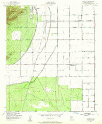
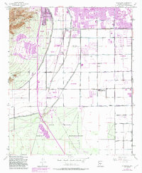
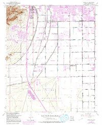
1952 Map of Guadalupe
USGS Topo · Published 1962About this map
Guadalupe and the surrounding Salt River Valley agricultural landscape are defined by an intricate network of irrigation and infrastructure in the early 1950s. The Highline Canal and Western Canal cut through the terrain, supporting the local economy visible through features like the Kyrene Gin and Loading Pens. The industrial footprint of the era is anchored by the Kyrene Steam Generating Plant and a Transformer Yard near the Southern Pacific tracks.
Find a feature on this map
38 named features on this map. Tap any name to fly to it.
Don’t see what you’re looking for? This feature index may not catch every label — zoom into the map to look around manually.
Map Details
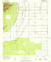
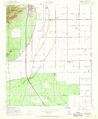
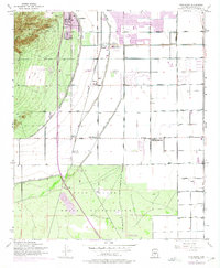
Editions of this 1952 Guadalupe Map
6 editions found
Other maps of this area

1912 · Phoenix
USGS Topo · 1:62,500

1913 · Mesa
USGS Topo · 1:62,500

1913 · Maricopa
USGS Topo · 1:62,500

1914 · Gila Butte
USGS Topo · 1:62,500

1914 · Phoenix
USGS Topo · 1:62,500

1915 · Mesa
USGS Topo · 1:62,500

1915 · Maricopa
USGS Topo · 1:62,500

1917 · Gila Butte
USGS Topo · 1:62,500

1952 · Tempe
USGS Topo · 1:24,000

1952 · Chandler
USGS Topo · 1:24,000