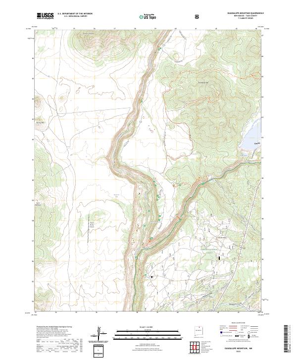
2023 Map of Guadalupe Mountain
USGS Topo · Published 2023About this map
Rio Grande Del Norte National Monument dominates this northern New Mexico landscape, centered on the dramatic canyon carved by the Rio Grande. The river’s descent through the Cañon del Rio Grande is marked by the Big Arsenic Falls and Little Arsenic Rapids, illustrating the powerful hydrology that has shaped the Taos plateau. To the east, the settlement of Questa sits near the confluence with the Red River, while the high ground of Guadalupe Mtn and Cebolla Mesa overlooks the river valley.
Find a feature on this map
34 named features on this map. Tap any name to fly to it.
Don’t see what you’re looking for? This feature index may not catch every label — zoom into the map to look around manually.
Map Details
Editions of this 2023 Guadalupe Mountain Map
This is the sole edition of this map. No revisions or reprints were ever made.
Other maps of this area

1954 · Raton
USGS Topo · 1:250,000

1958 · Raton
USGS Topo · 1:250,000

1963 · Arroyo Seco
USGS Topo · 1:24,000

1963 · Arroyo Hondo
USGS Topo · 1:24,000

1963 · Tres Piedras NE
USGS Topo · 1:24,000

1963 · Cerro De La Olla
USGS Topo · 1:24,000

1963 · Cerro
USGS Topo · 1:24,000

1963 · Sunshine
USGS Topo · 1:24,000

1963 · Cerro De Los Taoses
USGS Topo · 1:24,000

1963 · Questa
USGS Topo · 1:24,000