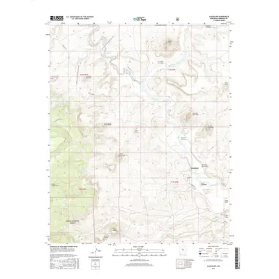
2017 Map of Guadalupe
USGS Topo · Published 2017About this map
Guadalupe and its surrounding canyonlands appear in this survey of Sandoval County, defined by the winding course of the Rio Puerco. The high desert landscape is punctuated by numerous volcanic necks and mesas, including the prominent Cerro de Guadalupe and Cerro Salado. Evidence of long-term settlement is visible at the Guadalupe Cem and nearby Guadalupe Springs, while the Banco de la Casa highlights the unique landforms of the region.
Find a feature on this map
41 named features on this map. Tap any name to fly to it.
Don’t see what you’re looking for? This feature index may not catch every label — zoom into the map to look around manually.
Map Details
Editions of this 2017 Guadalupe Map
This is the sole edition of this map. No revisions or reprints were ever made.
Other maps of this area
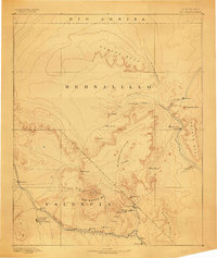
1883 · Mt. Taylor
USGS Topo · 1:250,000
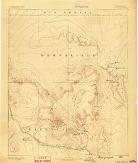
1886 · Mt. Taylor
USGS Topo · 1:250,000
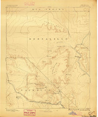
1892 · Mt. Taylor
USGS Topo · 1:250,000
1899 · Mt. Taylor
USGS Topo · 1:250,000
1958 · Albuquerque
USGS Topo · 1:250,000
1961 · Cerro Parido
USGS Topo · 1:24,000
1961 · Cerro Tinaja
USGS Topo · 1:24,000
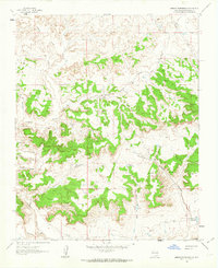
1961 · Arroyo Empedrado
USGS Topo · 1:24,000
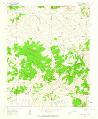
1961 · Canada Calladita
USGS Topo · 1:24,000
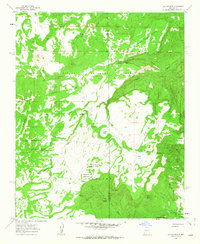
1961 · Laguna Seca
USGS Topo · 1:24,000