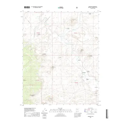
2020 Map of Guadalupe
USGS Topo · Published 2020About this map
Guadalupe and the surrounding canyon country of Sandoval County are documented here as they appeared in 2020. The landscape is defined by the winding course of the Rio Puerco and its tributaries, such as Arroyo Chico and Canada de las Lomitas. High desert peaks like Cerro de Guadalupe and Cerro Chamisa Losa rise above the drainage basins, while the Continental Divide National Scenic Trail traverses the western portion of the quadrangle. Local water sources are critical features in this arid environment, marked by numerous springs and ojos including Guadalupe Springs, Ojo del Padre, and Ojo Frio. Human presence is anchored at the settlement of Guadalupe and the Guadalupe Cem, with southern portions of the map extending into the Cibola National Forest. The map also details several prominent landforms like Abra de los Cerros and Banco de la Casa, illustrating the complex topography and ranching heritage of the Rio Puerco valley.
Find a feature on this map
39 named features on this map. Tap any name to fly to it.
Don’t see what you’re looking for? This feature index may not catch every label — zoom into the map to look around manually.
Map Details
Editions of this 2020 Guadalupe Map
This is the sole edition of this map. No revisions or reprints were ever made.
Other maps of this area

1883 · Mt. Taylor
USGS Topo · 1:250,000

1886 · Mt. Taylor
USGS Topo · 1:250,000

1892 · Mt. Taylor
USGS Topo · 1:250,000

1899 · Mt. Taylor
USGS Topo · 1:250,000

1958 · Albuquerque
USGS Topo · 1:250,000

1961 · Cerro Parido
USGS Topo · 1:24,000

1961 · Cerro Tinaja
USGS Topo · 1:24,000

1961 · Arroyo Empedrado
USGS Topo · 1:24,000
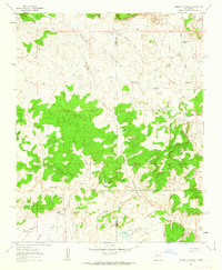
1961 · Canada Calladita
USGS Topo · 1:24,000
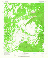
1961 · Laguna Seca
USGS Topo · 1:24,000