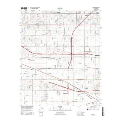
2015 Map of Guasti
USGS Topo · Published 2015About this map
Ontario and the eastern San Bernardino Valley are documented here in high detail, showcasing the region's transition from agricultural foundations to a major transportation and logistics hub. The expansive Ontario International Airport dominates the central portion of the map, surrounded by named settlements like Guasti, Etiwanda, and Rochester. These communities are connected by a dense grid of thoroughfares, including historic routes such as Arrow Rte and Foothill Blvd. The landscape is physically defined by the drainage patterns of Cucamonga Creek and Day Creek, which flow south from the mountains toward Jurupa Valley. In the southeast, the Jurupa Mountains provide a sharp contrast to the developed plains. This map records the integration of established neighborhoods like Alta Loma with newer industrial and educational developments, including Platt College Ontario.
Find a feature on this map
55 named features on this map. Tap any name to fly to it.
Don’t see what you’re looking for? This feature index may not catch every label — zoom into the map to look around manually.
Map Details
Editions of this 2015 Guasti Map
This is the sole edition of this map. No revisions or reprints were ever made.
Other maps of this area

1896 · San Bernardino
USGS Topo · 1:62,500

1897 · Cucamonga
USGS Topo · 1:62,500

1898 · San Bernardino
USGS Topo · 1:62,500

1900 · Cucamonga
USGS Topo · 1:62,500

1901 · Southern California Sheet No. 1
USGS Topo · 1:250,000

1901 · San Bernardino
USGS Topo · 1:62,500

1901 · Elsinore
USGS Topo · 1:125,000

1901 · Riverside
USGS Topo · 1:62,500

1902 · Corona
USGS Topo · 1:125,000

1903 · Cucamonga
USGS Topo · 1:62,500