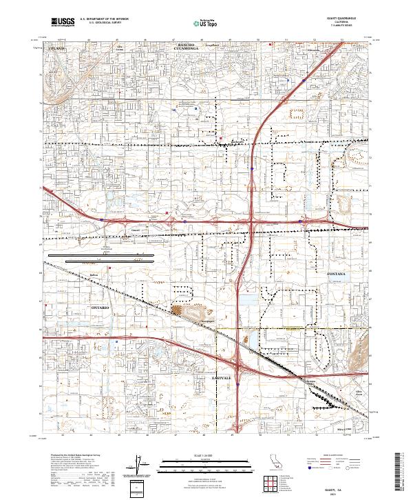
2021 Map of Guasti
USGS Topo · Published 2021About this map
Ontario International Airport dominates the central landscape of this Inland Empire corridor, serving as a massive logistical hub between the expanding residential grids of Ontario and Guasti. To the north, the foothills of the San Gabriel range meet established communities like Alta Loma and Rancho Cucamonga, where the San Bernardino County Rancho Cucamonga District Courthouse stands near the intersection of Foothill Blvd and Hellman Ave.
Find a feature on this map
54 named features on this map. Tap any name to fly to it.
Don’t see what you’re looking for? This feature index may not catch every label — zoom into the map to look around manually.
Map Details
Editions of this 2021 Guasti Map
This is the sole edition of this map. No revisions or reprints were ever made.
Other maps of this area

1896 · San Bernardino
USGS Topo · 1:62,500

1897 · Cucamonga
USGS Topo · 1:62,500

1898 · San Bernardino
USGS Topo · 1:62,500

1900 · Cucamonga
USGS Topo · 1:62,500

1901 · Southern California Sheet No. 1
USGS Topo · 1:250,000

1901 · San Bernardino
USGS Topo · 1:62,500

1901 · Elsinore
USGS Topo · 1:125,000

1901 · Riverside
USGS Topo · 1:62,500

1902 · Corona
USGS Topo · 1:125,000

1903 · Cucamonga
USGS Topo · 1:62,500