Loading...
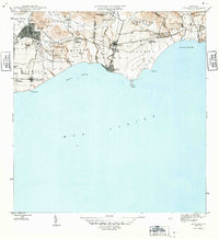
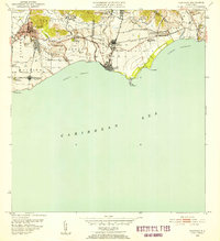
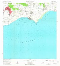
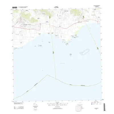
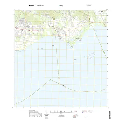
Loading map...1970 Map of Guayama
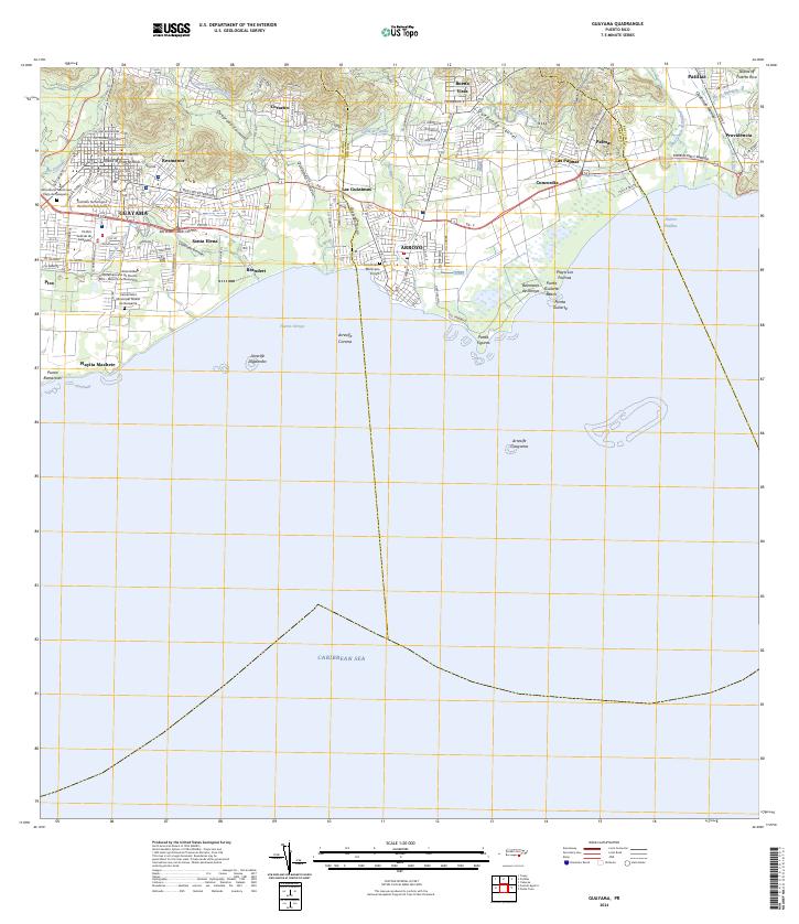
USGS Topo · Published 1972About this map
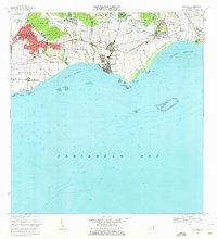
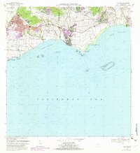
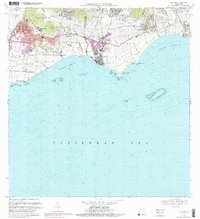
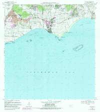
Sugar production and coastal trade define this 1970 landscape, where the industrial presence of Central Machete and Central Lafayette anchored the local economy. The city of Guayama serves as the inland hub, with its urban center clearly delineated by the Limite Del Pueblo and reaching toward the residential developments of Rexmanor and Santa Elena. To the east, the port town of Arroyo is divided into Pueblo Oeste and Pueblo Este, fronting the waters of Puerto Arroyo.
Find a feature on this map
70 named features on this map. Tap any name to fly to it.
Don’t see what you’re looking for? This feature index may not catch every label — zoom into the map to look around manually.
Map Details
Date Portrayed1970
Date Published1972
PublisherU.S. Geological Survey
Map TypeTopographic
Scale1:20,000
Physical Dimensions29.38 x 32.32 inches
Editions of this 1970 Guayama Map
4 editions found
Historical Maps of Guayama Through Time
7 maps found
Featured Locations
- Guayama, Guayama
- Arroyo, Arroyo
- Bariada Buenos Aires 2, Arroyo
- Campo Mar, Arroyo
- Sector Acueducto, Arroyo
Source Details
SourceU.S. Geological Survey
CopyrightPublic Domain