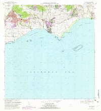
1970 Map of Guayama
USGS Topo · Published 1982About this map
Sugarcane processing and coastal commerce define this coastal stretch of southern Puerto Rico, where the industrial presence of Central Lafayette and Central Machete anchor the local economy. The urban center of Guayama shows significant growth, with neighborhoods like Rexmanor expanding near the Canal De Guamani Oeste. Moving east along the coast, the municipality of Arroyo is divided into Pueblo Oeste and Pueblo Este, serving as a gateway to the Puerto Arroyo waters.
Find a feature on this map
61 named features on this map. Tap any name to fly to it.
Don’t see what you’re looking for? This feature index may not catch every label — zoom into the map to look around manually.
Map Details
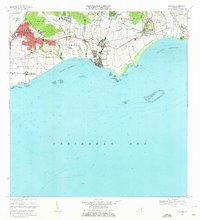
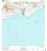
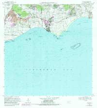
Editions of this 1970 Guayama Map
4 editions found
Other maps of this area

1945 · Punta Tuna
USGS Topo · 1:30,000

1945 · Central Aguirre
USGS Topo · 1:30,000

1946 · Patillas
USGS Topo · 1:30,000

1946 · Cayey
USGS Topo · 1:30,000

1946 · Yabucoa
USGS Topo · 1:30,000

1946 · Guayama
USGS Topo · 1:30,000

1947 · Yabucoa SO
USGS Topo · 1:10,000

1947 · Patillas SO
USGS Topo · 1:10,000
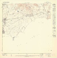
1947 · Guayama NE
USGS Topo · 1:10,000
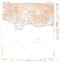
1947 · Punta Tuna NO
USGS Topo · 1:10,000