Loading...
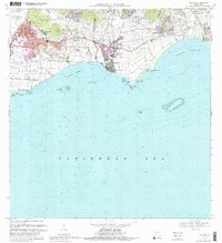
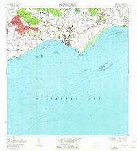
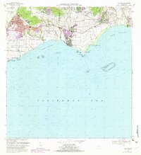
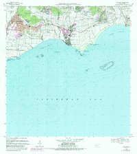
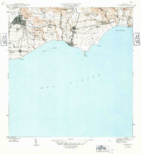
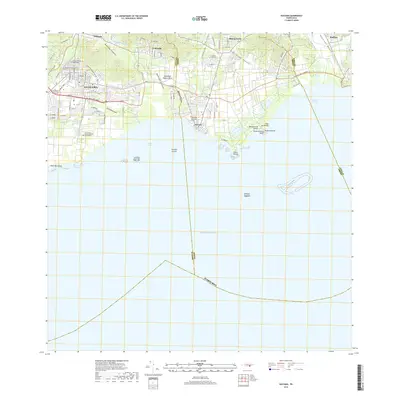
Loading map...1970 Map of Guayama
USGS Topo · Published 1989About this map
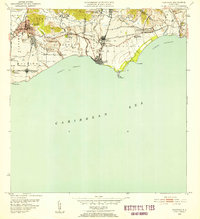
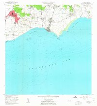
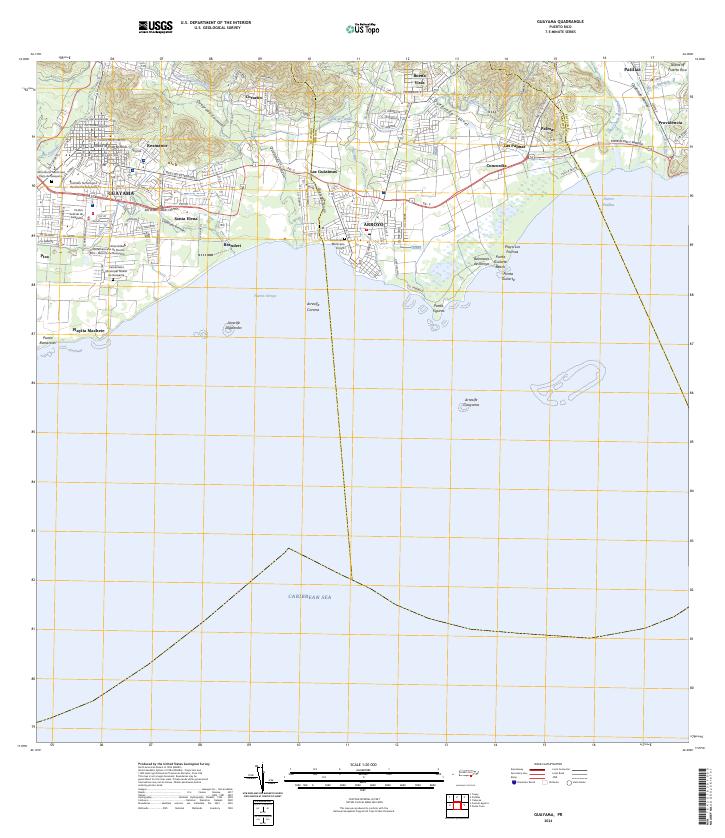
The industrial and agricultural coast of southern Puerto Rico is prominently displayed here, centered on the urban core of Guayama and the coastal town of Arroyo. This period of the 1970s shows a landscape defined by its sugar processing history, with the Central Lafayette and Central Machete mills serving as local landmarks. The map traces the transition from the upland municipality of Pitahaya down to the reef-lined waters of the Caribbean Sea, including the Puerto Arroyo harbor.
Find a feature on this map
53 named features on this map. Tap any name to fly to it.
Don’t see what you’re looking for? This feature index may not catch every label — zoom into the map to look around manually.
Map Details
Date Portrayed1970
Date Published1989
PublisherU.S. Geological Survey
Map TypeTopographic
Scale1:20,000
Physical Dimensions28.83 x 31.64 inches
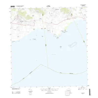
Editions of this 1970 Guayama Map
4 editions found
Historical Maps of Guayama Through Time
7 maps found
Featured Locations
- Guayama, Guayama
- Arroyo, Arroyo
- Bariada Buenos Aires 2, Arroyo
- Campo Mar, Arroyo
- Sector Acueducto, Arroyo
Source Details
SourceU.S. Geological Survey
CopyrightPublic Domain