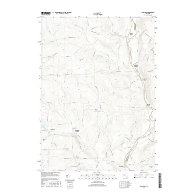
2016 Map of Guilford
USGS Topo · Published 2016About this map
The Unadilla River forms a natural border between Chenango and Otsego counties, threading through a landscape defined by several historic hamlets. Settlement centers such as Mount Upton and Rockwells Mills line the eastern river valley, while Guilford sits further west near the shores of Guilford Lake. The distribution of burial grounds, including the Evergreen Cem near White Store and the Ives Settlement Cem to the south, provides a clear framework for genealogists tracing family roots in this rural corridor. High points like Shumway Hill and Hutchinson Hill overlook the winding watercourses of Kent Brook and Lyon Brook, illustrating how the early road network, such as Latham Corner Rd, navigated the varied topography to connect these agricultural and milling communities.
Find a feature on this map
87 named features on this map. Tap any name to fly to it.
Don’t see what you’re looking for? This feature index may not catch every label — zoom into the map to look around manually.
Map Details
Editions of this 2016 Guilford Map
This is the sole edition of this map. No revisions or reprints were ever made.
Other maps of this area

1902 · Coventry
USGS Topo · 1:62,500

1903 · Norwich
USGS Topo · 1:62,500

1904 · Oxford
USGS Topo · 1:62,500

1910 · New Berlin
USGS Topo · 1:62,500

1912 · New Berlin
USGS Topo · 1:62,500

1915 · Unadilla
USGS Topo · 1:62,500

1918 · Unadilla
USGS Topo · 1:62,500

1943 · Sidney
USGS Topo · 1:24,000

1943 · New Berlin South
USGS Topo · 1:24,000

1943 · Gilbertsville
USGS Topo · 1:24,000