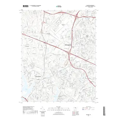
2019 Map of Guilford
USGS Topo · Published 2019About this map
The Piedmont Triad International Airport anchors the northern portion of this map, illustrating the intersection of modern logistics and transportation hubs with the long-established communities of Guilford and Friendship. This area of North Carolina displays a dense network of suburban development and municipal growth between Greensboro and High Point. The presence of the historic Guilford College campus and the Persimmon Grove A M E Cem provides significant points of interest for those researching local educational and religious roots.
Find a feature on this map
335 named features on this map. Tap any name to fly to it.
Don’t see what you’re looking for? This feature index may not catch every label — zoom into the map to look around manually.
Map Details
Editions of this 2019 Guilford Map
This is the sole edition of this map. No revisions or reprints were ever made.
Other maps of this area

1949 · High Point West
USGS Topo · 1:24,000

1950 · High Point East
USGS Topo · 1:24,000

1951 · High Point East
USGS Topo · 1:24,000

1951 · Guilford
USGS Topo · 1:24,000

1951 · Lake Brandt
USGS Topo · 1:24,000

1951 · Greensboro
USGS Topo · 1:24,000

1953 · Raleigh
USGS Topo · 1:250,000

1953 · Charlotte
USGS Topo · 1:250,000

1953 · Winston-Salem
USGS Topo · 1:250,000

1953 · Greensboro
USGS Topo · 1:250,000