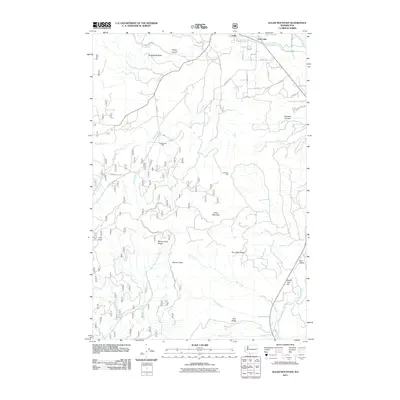
2011 Map of Guler Mountain
USGS Topo · Published 2011About this map
Guler and the neighboring community of Trout Lake anchor this topographic survey of the northern Klickitat County landscape. The area is defined by its complex hydrology and timber history, with the White Salmon River and Little White Salmon River carving through the terrain alongside numerous seasonal drainages like Dry Creek. Evidence of local industry appears at the Gablehouse Mill and Smeltzer Mill, situated among the peaks and ridges that dominate the skyline. High points such as Guler Mountain, Trail Peak, and the Monte Cristo Range provide significant elevation, while canyons like Wang Canyon and Kilowatt Canyon reveal the deep-cut nature of the local geology. This 2011 edition documents a network of forest development roads, including Natl Forest Develop Road 86 Rd, which provide access to remote areas like Bear Valley and Monte Cristo.
Find a feature on this map
48 named features on this map. Tap any name to fly to it.
Don’t see what you’re looking for? This feature index may not catch every label — zoom into the map to look around manually.
Map Details
Editions of this 2011 Guler Mountain Map
This is the sole edition of this map. No revisions or reprints were ever made.
Other maps of this area

1904 · Mount Adams
USGS Topo · 1:125,000

1907 · Mount Adams
USGS Topo · 1:125,000

1926 · Steamboat Mtn
USGS Topo · 1:125,000

1926 · Hood River
USGS Topo · 1:125,000

1929 · Hood River
USGS Topo · 1:125,000

1931 · Steamboat Mtn
USGS Topo · 1:125,000

1934 · The Dalles
USGS Topo · 1:125,000

1950 · Yakima
USGS Topo · 1:250,000

1953 · The Dalles
USGS Topo · 1:250,000

1956 · The Dalles
USGS Topo · 1:250,000