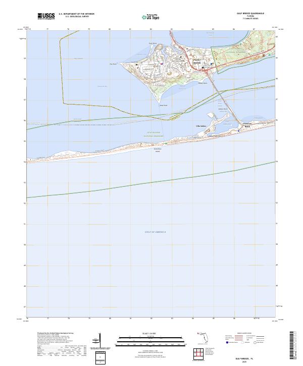
2025 Map of Gulf Breeze
USGS Topo · Published 2025About this map
Town Point and Fair Point anchor the northern peninsula of this coastal landscape, where the residential development of Gulf Breeze sits between the waters of Pensacola Bay and the Santa Rosa Sound. The geography is defined by a series of protected inlets and coves, including Old Navy Cove and English Navy Cove, while the southern portion of the map covers the narrow reach of Santa Rosa Island. This barrier island is home to the extensive Gulf Islands National Seashore, preserving the shoreline's natural character.
Find a feature on this map
49 named features on this map. Tap any name to fly to it.
Don’t see what you’re looking for? This feature index may not catch every label — zoom into the map to look around manually.
Map Details
Editions of this 2025 Gulf Breeze Map
This is the sole edition of this map. No revisions or reprints were ever made.
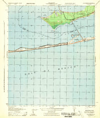
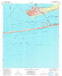
Historical Maps of Escambia County Through Time
3 maps found