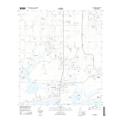
2014 Map of Gulf Shores
USGS Topo · Published 2014About this map
Gulf Shores and Orange Beach serve as the focal points of this 2014 survey, illustrating the complex intersection of coastal development and natural waterways along the Gulf of Mexico. The landscape is defined by the Intracoastal Waterway, which cuts across the terrain to connect Oyster Bay and Portage Creek. The Doctor W C Holmes Bridge provides a vital link for the Gulf Shores Pky, while the northern portion of the quadrangle shows the residential expansion near Foley.
Find a feature on this map
174 named features on this map. Tap any name to fly to it.
Don’t see what you’re looking for? This feature index may not catch every label — zoom into the map to look around manually.
Map Details
Editions of this 2014 Gulf Shores Map
This is the sole edition of this map. No revisions or reprints were ever made.
Other maps of this area

1921 · Bon Secour
USGS Topo · 1:62,500

1921 · Point Clear
USGS Topo · 1:62,500

1941 · Foley
USGS Topo · 1:62,500

1941 · Weeks Bay
USGS Topo · 1:62,500

1943 · Weeks Bay
USGS Topo · 1:62,500

1943 · Foley
USGS Topo · 1:62,500

1944 · Miflin
USGS Topo · 1:25,000

1957 · Pensacola
USGS Topo · 1:250,000

1959 · Pensacola
USGS Topo · 1:250,000

1960 · Pensacola
USGS Topo · 1:250,000