
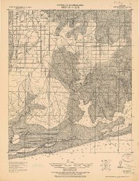
1944 Map of Miflin
USGS Topo · Published 1944About this map
The Wolf Bay and Perdido Bay watersheds meet in this coastal survey, where the intricate shoreline of Baldwin County is defined by a network of bayous and points. The landscape is dotted with small settlements like Miflin, Josephine, and Perdido Beach, illustrating a quiet maritime economy before the mid-century surge in coastal development. The Josephine School serves the rural community inland from Robert's Bayou, while a prominent Fire Line suggests the managed timberlands characteristic of the Gulf Coast plains.
Find a feature on this map
67 named features on this map. Tap any name to fly to it.
Don’t see what you’re looking for? This feature index may not catch every label — zoom into the map to look around manually.
Map Details
Editions of this 1944 Miflin Map
This is the sole edition of this map. No revisions or reprints were ever made.
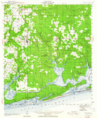
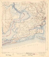
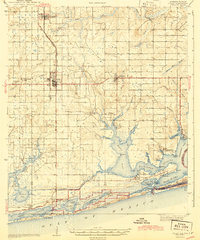
Other maps of this area
1921 · Bon Secour
USGS Topo · 1:62,500

1921 · Fort Barrancas
USGS Topo · 1:62,500

1941 · Fort Barrancas
USGS Topo · 1:62,500
1941 · Foley
USGS Topo · 1:62,500
1943 · Fort Barrancas
USGS Topo · 1:62,500
1943 · Foley
USGS Topo · 1:62,500

1944 · Perdido Bay North
USGS Topo · 1:25,000

1944 · Perdido Bay South
USGS Topo · 1:25,000

1957 · Pensacola
USGS Topo · 1:250,000

1959 · Pensacola
USGS Topo · 1:250,000