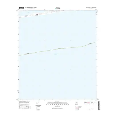
2014 Map of Gulf Shores OE S
USGS Topo · Published 2014About this map
Gulf Shores occupies a narrow strip of land between the expansive Gulf of Mexico and the inland waters of Little Lagoon. This 2014 survey captures the coastal geography of the Alabama shoreline just west of the main town center, where residential and transit infrastructure follows the linear constraints of the peninsula. The primary corridor, W Beach Blvd, runs parallel to the beach, while the Lee Callaway Bridge provides a critical crossing for local traffic near the lagoon’s edge. The map reflects a landscape defined by the proximity of water on both sides, with street layouts like W Lagoon Ave and W 1st Ave demonstrating the dense coastal development pattern characteristic of this portion of Baldwin County.
Find a feature on this map
9 named features on this map. Tap any name to fly to it.
Don’t see what you’re looking for? This feature index may not catch every label — zoom into the map to look around manually.
Map Details
Editions of this 2014 Gulf Shores OE S Map
This is the sole edition of this map. No revisions or reprints were ever made.
Other maps of this area

1921 · Bon Secour
USGS Topo · 1:62,500

1921 · Point Clear
USGS Topo · 1:62,500

1941 · Foley
USGS Topo · 1:62,500

1941 · Weeks Bay
USGS Topo · 1:62,500

1943 · Weeks Bay
USGS Topo · 1:62,500

1943 · Foley
USGS Topo · 1:62,500

1944 · Miflin
USGS Topo · 1:25,000

1957 · Pensacola
USGS Topo · 1:250,000

1959 · Pensacola
USGS Topo · 1:250,000

1960 · Pensacola
USGS Topo · 1:250,000