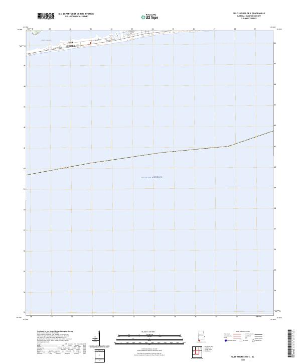
2025 Map of Gulf Shores OE S
USGS Topo · Published 2025About this map
Gulf Shores occupies the narrow peninsula of Baldwin County, defined by the transition from the brackish waters of Little Lagoon to the open expanse of the Gulf of America. This 2025 survey illustrates the modern street grid and coastal development concentrated along W Beach Blvd and E Beach Blvd. The map captures the delicate geography of this barrier landform, where residential corridors like W Lagoon Ave and Brigadoon Trl are situated between the protected lagoon and the primary Gulf shoreline. The layout reflects the contemporary maritime economy and seasonal residency patterns of the Alabama coast, providing a precise record of the developed shoreline before future coastal shifts or urban expansion.
Find a feature on this map
9 named features on this map. Tap any name to fly to it.
Don’t see what you’re looking for? This feature index may not catch every label — zoom into the map to look around manually.
Map Details
Editions of this 2025 Gulf Shores OE S Map
This is the sole edition of this map. No revisions or reprints were ever made.
Other maps of this area

1921 · Bon Secour
USGS Topo · 1:62,500

1921 · Point Clear
USGS Topo · 1:62,500

1941 · Foley
USGS Topo · 1:62,500

1941 · Weeks Bay
USGS Topo · 1:62,500

1943 · Weeks Bay
USGS Topo · 1:62,500

1943 · Foley
USGS Topo · 1:62,500

1944 · Miflin
USGS Topo · 1:25,000

1957 · Pensacola
USGS Topo · 1:250,000

1959 · Pensacola
USGS Topo · 1:250,000

1960 · Pensacola
USGS Topo · 1:250,000