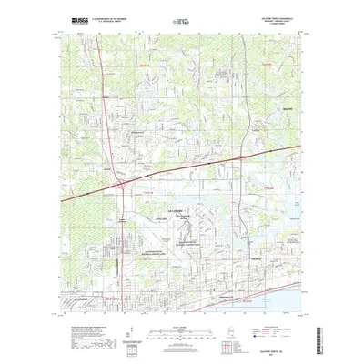
2021 Map of Gulfport North
USGS Topo · Published 2021About this map
Gulfport sits at a critical intersection of aviation, maritime, and rail infrastructure in this recent survey. The landscape is defined by the Gulfport-Biloxi International Airport and specialized facilities like the NG Gulfport AVCRAD, reflecting the area's ongoing military and commercial importance. Waterways like Bayou Bernard and Turkey Creek thread through established residential communities and industrial zones, while the Handsboro Bridge provides a vital link in the historic Handsboro district.
Find a feature on this map
70 named features on this map. Tap any name to fly to it.
Don’t see what you’re looking for? This feature index may not catch every label — zoom into the map to look around manually.
Map Details
Editions of this 2021 Gulfport North Map
This is the sole edition of this map. No revisions or reprints were ever made.
Other maps of this area

1953 · Mobile
USGS Topo · 1:250,000
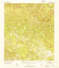
1954 · Vestry
USGS Topo · 1:62,500
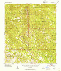
1954 · McHenry
USGS Topo · 1:62,500
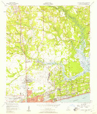
1954 · Gulfport North
USGS Topo · 1:24,000
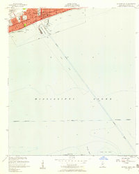
1954 · Gulfport South
USGS Topo · 1:24,000
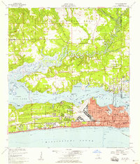
1954 · Biloxi
USGS Topo · 1:24,000
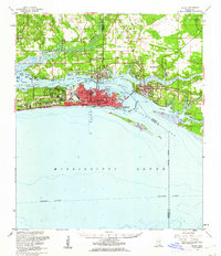
1954 · Biloxi
USGS Topo · 1:62,500
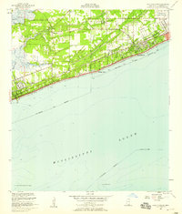
1955 · Pass Christian
USGS Topo · 1:24,000
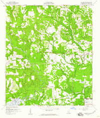
1956 · Gulfport NW
USGS Topo · 1:24,000
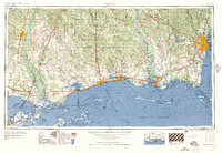
1957 · Mobile
USGS Topo · 1:250,000