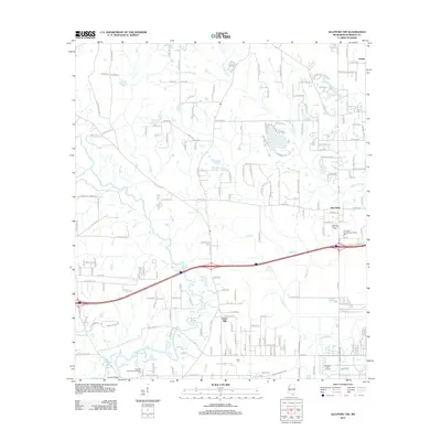
2012 Map of Gulfport NW
USGS Topo · Published 2012About this map
Lyman and New Hope anchor the northeastern landscape of this Mississippi coastal region, situated where the northern suburbs of the Gulf Coast meet the drainage basins of Bayou Bernard and Turkey Cr. The area is defined by a dense network of residential development and local roads, such as Robinson Rd and Landon Rd, transitioning into the more industrial and transit-heavy corridor near Jones Mill. The southern portion of the map is intersected by major arterial infrastructure, including the managed waterway of Canal Number Two. Local landmarks like Allen Cem and Monroe Memorial Park reflect the community's established history and civic spaces. The topography is largely shaped by low-lying water bodies and drainage systems, with Wolf River and Flat Br cutting through the western and central reaches, highlighting the environmental character of the Harrison County interior.
Find a feature on this map
91 named features on this map. Tap any name to fly to it.
Don’t see what you’re looking for? This feature index may not catch every label — zoom into the map to look around manually.
Map Details
Editions of this 2012 Gulfport NW Map
This is the sole edition of this map. No revisions or reprints were ever made.
Other maps of this area

1953 · Mobile
USGS Topo · 1:250,000

1954 · McHenry
USGS Topo · 1:62,500

1954 · Gulfport North
USGS Topo · 1:24,000

1954 · Gulfport South
USGS Topo · 1:24,000

1955 · Savannah
USGS Topo · 1:62,500

1955 · Pass Christian
USGS Topo · 1:24,000

1956 · Bay St. Louis
USGS Topo · 1:24,000

1956 · Vidalia
USGS Topo · 1:24,000

1956 · Gulfport NW
USGS Topo · 1:24,000

1957 · Mobile
USGS Topo · 1:250,000