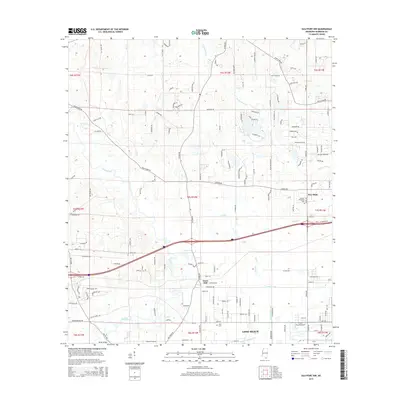
2015 Map of Gulfport NW
USGS Topo · Published 2015About this map
Wolf River and Bayou Bernard dominate the low-lying terrain of Harrison County in this mid-2010s survey, illustrating a landscape defined by its intricate drainage systems. The map captures the interface between established settlements and natural waterways, featuring names like New Hope and the smaller locality of Jones Mill. Transportation routes are well-defined, including the crossing at Rouse Bridge and a network of roads such as Mennonite Colony Ln and Gulf Haven Rd that navigate the varied townships. The presence of Allen Cem and Monroe Memorial Park provides specific points of interest for genealogists tracing family roots in this part of Mississippi. The hydrological layout is particularly detailed, showing the courses of Turkey Creek and Flat Br, which feed into the larger coastal bayou system.
Find a feature on this map
148 named features on this map. Tap any name to fly to it.
Don’t see what you’re looking for? This feature index may not catch every label — zoom into the map to look around manually.
Map Details
Editions of this 2015 Gulfport NW Map
This is the sole edition of this map. No revisions or reprints were ever made.
Other maps of this area

1953 · Mobile
USGS Topo · 1:250,000

1954 · McHenry
USGS Topo · 1:62,500

1954 · Gulfport North
USGS Topo · 1:24,000

1954 · Gulfport South
USGS Topo · 1:24,000

1955 · Savannah
USGS Topo · 1:62,500

1955 · Pass Christian
USGS Topo · 1:24,000

1956 · Bay St. Louis
USGS Topo · 1:24,000

1956 · Vidalia
USGS Topo · 1:24,000

1956 · Gulfport NW
USGS Topo · 1:24,000

1957 · Mobile
USGS Topo · 1:250,000