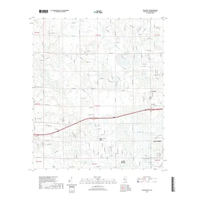
2018 Map of Gulfport NW
USGS Topo · Published 2018About this map
Wolf River and its meandering tributaries dominate this Harrison County landscape, winding through a dense network of residential streets and rural corridors just north of the Mississippi Sound. The transition from the urban fringes of Gulfport and Long Beach to the interior is marked by significant hydrological features like Bayou Bernard and Turkey Creek. Land use varies from the densely packed blocks of the coastal cities to the more dispersed settlements of New Hope and Jones Mill. Local history and genealogy interests are anchored by landmarks such as Monroe Memorial Park and Allen Cem, while the infrastructure is defined by crossings like Rouse Bridge and a complex system of drainage including Canal Number Two. This 2018 survey documents the modern suburban sprawl and the persistent wetland networks that define the topography of the Gulf Coast hinterlands.
Find a feature on this map
159 named features on this map. Tap any name to fly to it.
Don’t see what you’re looking for? This feature index may not catch every label — zoom into the map to look around manually.
Map Details
Editions of this 2018 Gulfport NW Map
This is the sole edition of this map. No revisions or reprints were ever made.
Other maps of this area

1953 · Mobile
USGS Topo · 1:250,000

1954 · McHenry
USGS Topo · 1:62,500

1954 · Gulfport North
USGS Topo · 1:24,000

1954 · Gulfport South
USGS Topo · 1:24,000

1955 · Savannah
USGS Topo · 1:62,500

1955 · Pass Christian
USGS Topo · 1:24,000

1956 · Bay St. Louis
USGS Topo · 1:24,000

1956 · Vidalia
USGS Topo · 1:24,000

1956 · Gulfport NW
USGS Topo · 1:24,000

1957 · Mobile
USGS Topo · 1:250,000