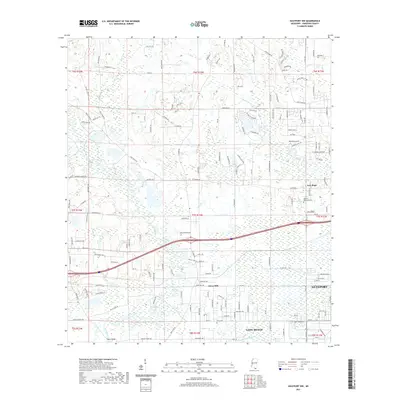
2021 Map of Gulfport NW
USGS Topo · Published 2021About this map
The Wolf River meanders through the heart of this Harrison County landscape, defining the transition between the coastal development of Gulfport and the more dispersed rural tracts to the north. In this modern survey, the dense network of named residential streets contrasts with established landmarks like Monroe Memorial Park and the Allen Cem cemetery. The drainage patterns of Bayou Bernard and Turkey Creek dictate the local topography, while the settlement at Jones Mill and the neighborhood of New Hope represent focal points of local history and community. The presence of Canal Number Two near the Long Beach border illustrates the managed water systems necessary for this low-lying Gulf Coast region. Small topographical features such as Inman Knoll and the drainage of Big Creek punctuate the landscape, offering specific points of interest for those tracing family property lines or local geography.
Find a feature on this map
164 named features on this map. Tap any name to fly to it.
Don’t see what you’re looking for? This feature index may not catch every label — zoom into the map to look around manually.
Map Details
Editions of this 2021 Gulfport NW Map
This is the sole edition of this map. No revisions or reprints were ever made.
Other maps of this area

1953 · Mobile
USGS Topo · 1:250,000

1954 · McHenry
USGS Topo · 1:62,500

1954 · Gulfport North
USGS Topo · 1:24,000

1954 · Gulfport South
USGS Topo · 1:24,000

1955 · Savannah
USGS Topo · 1:62,500

1955 · Pass Christian
USGS Topo · 1:24,000

1956 · Bay St. Louis
USGS Topo · 1:24,000

1956 · Vidalia
USGS Topo · 1:24,000

1956 · Gulfport NW
USGS Topo · 1:24,000

1957 · Mobile
USGS Topo · 1:250,000