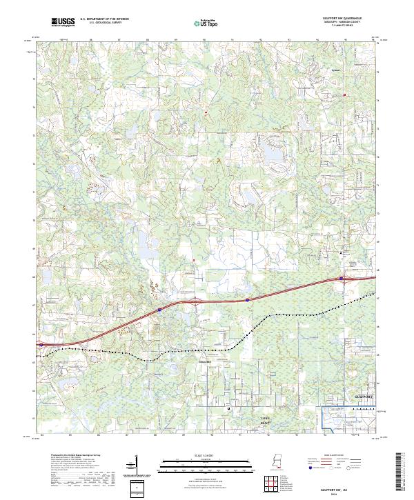
2024 Map of Gulfport NW
USGS Topo · Published 2024About this map
The Wolf River and its meandering tributaries, including Big Creek and Flat Branch, dominate this Harrison County landscape as it enters the twenty-first century. This coastal Mississippi interior shows a transition from rural wooded tracts near Big Hill to the denser suburban edges of Gulfport and Long Beach. Significant local landmarks provide anchors for genealogical research, such as the Allen Cem and the northern settlement of Lyman. The map details a complex hydrologic network where Turkey Creek and Bayou Bernard weave through low-lying areas. Transport infrastructure is clearly defined, from the local historical crossing at Bell Ferry to the industrial corridor of the CSX Transportation railroad. The inclusion of Jones Mill and Monroe Memorial Park reflects the continued importance of these named sites within the community's contemporary geography.
Find a feature on this map
179 named features on this map. Tap any name to fly to it.
Don’t see what you’re looking for? This feature index may not catch every label — zoom into the map to look around manually.
Map Details
Editions of this 2024 Gulfport NW Map
This is the sole edition of this map. No revisions or reprints were ever made.
Other maps of this area

1953 · Mobile
USGS Topo · 1:250,000

1954 · McHenry
USGS Topo · 1:62,500

1954 · Gulfport North
USGS Topo · 1:24,000

1954 · Gulfport South
USGS Topo · 1:24,000

1955 · Savannah
USGS Topo · 1:62,500

1955 · Pass Christian
USGS Topo · 1:24,000

1956 · Bay St. Louis
USGS Topo · 1:24,000

1956 · Vidalia
USGS Topo · 1:24,000

1956 · Gulfport NW
USGS Topo · 1:24,000

1957 · Mobile
USGS Topo · 1:250,000