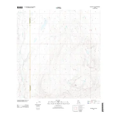
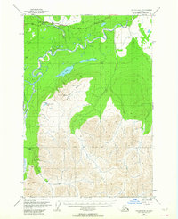
2013 Map of Gulkana A-6 SW
USGS Topo · Published 2013About this map
The Little Nelchina River flows through this subarctic interior landscape, carving a path near the boundary of Matanuska-Susitna and Valdez-Cordova. This 2013 survey illustrates a terrain defined by high-elevation water bodies and prominent relief. In the southern reach of the quadrangle, Slide Mountain rises above a cluster of alpine lakes, including Planaria Lake, Fossil Lake, and Carrot Lake. The hydrography here is a network of small tributaries like Cache Cr and Old Man Cr that feed into the larger river system. Northward, the landscape is dotted with isolated basins such as John Lake and Bear Lake. This map captures a region primarily shaped by natural geomorphology rather than human development, serving as a detailed record of the drainage patterns and topographic contours at the edge of the Matanuska-Susitna borough.
Find a feature on this map
10 named features on this map. Tap any name to fly to it.
Don’t see what you’re looking for? This feature index may not catch every label — zoom into the map to look around manually.
Map Details
Editions of this 2013 Gulkana A-6 SW Map
This is the sole edition of this map. No revisions or reprints were ever made.
Other maps of this area
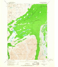
1948 · Anchorage D-1
USGS Topo · 1:63,360
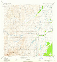
1949 · Talkeetna Mountains A-1
USGS Topo · 1:63,360
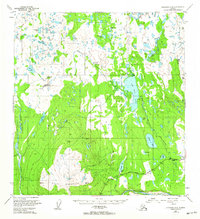
1949 · Gulkana A-6
USGS Topo · 1:63,360
1949 · Valdez D-8
USGS Topo · 1:63,360
1950 · Talkeetna Mountains
USGS Topo · 1:250,000
1951 · Gulkana
USGS Topo · 1:250,000
1951 · Anchorage
USGS Topo · 1:250,000
1951 · Anchorage D-1
USGS Topo · 1:63,360
1952 · Valdez D-8
USGS Topo · 1:63,360
1952 · Valdez
USGS Topo · 1:250,000